This trip was going to be different; the goal was to climb Galdhöpiggen, the highest mountain in the Nordic region, at 2,469 meters above sea level. Over the summer, I had climbed Kebenkaise, Sweden’s highest mountain, which had boosted my confidence and raised my expectations for this climb. In reality, as it turned out, the season and the preparations I lacked were the issues—something I hadn’t fully realized when I decided, along with two friends, to climb this mountain. But these lessons often come from facing one’s shortcomings.
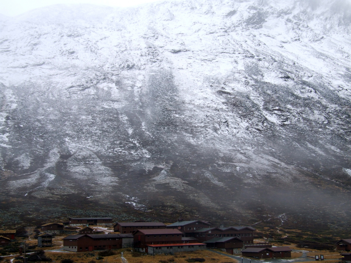
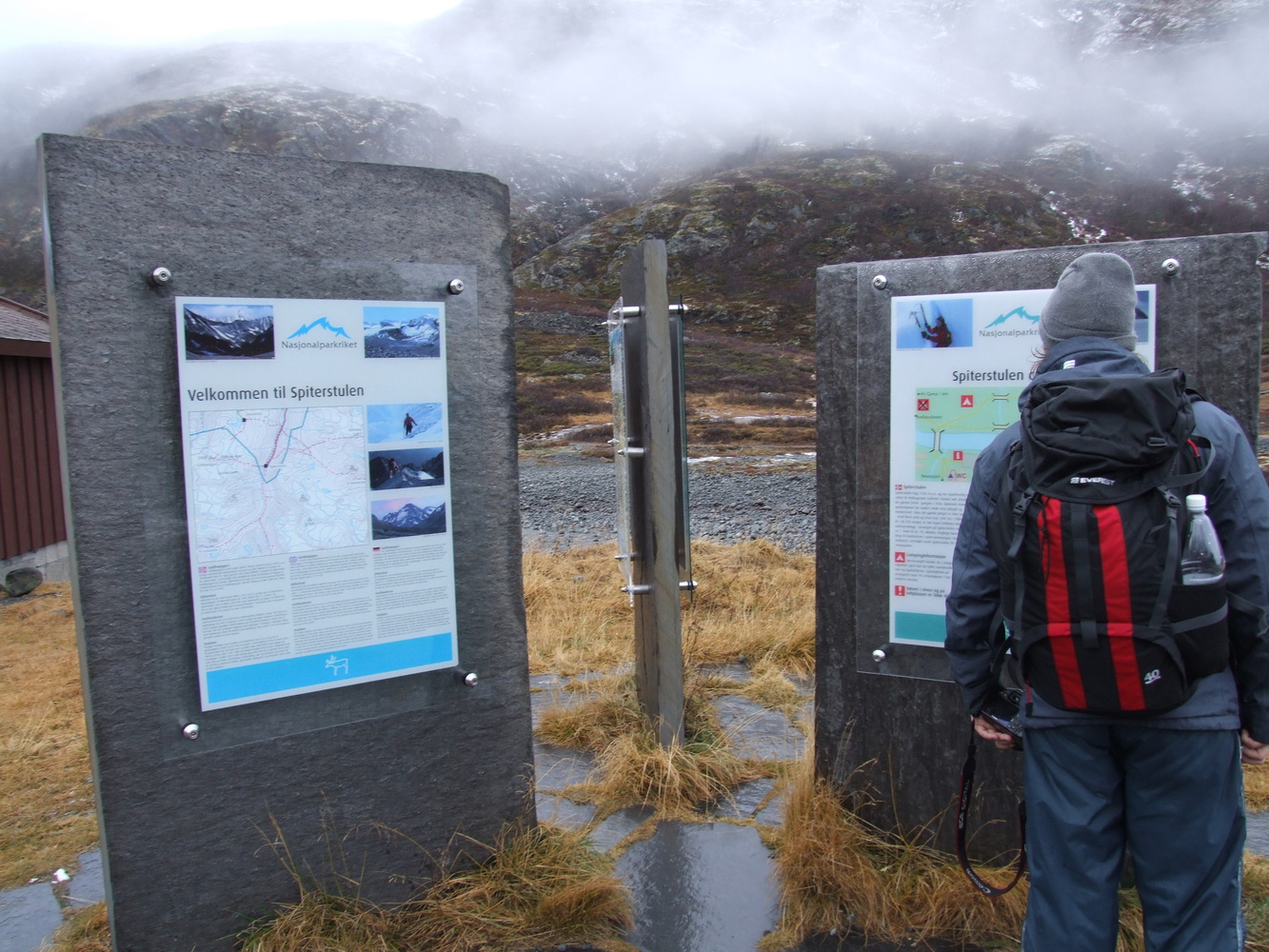
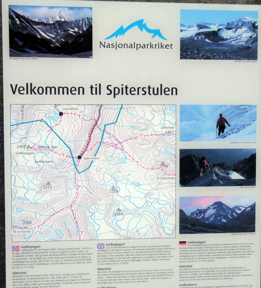
Here’s how it went. For some time, I had been checking a webcam located at the Spiterstulen mountain station to monitor the weather and see if the ground was bare. The mountain station is situated in the valley between Galdhöpiggen and Glittertind, names as beautiful as the two surrounding peaks, which are also the two highest mountains in the Nordic region. From the camera’s angle, I could only see the lower parts of the surrounding mountains, and based on that information, the valley appeared to be snow-free and accessible for a summit hike even though it was late October. The autumn hiking season was actually already over, and the Spiterstulen station was closed in anticipation of the winter season. But since I like being out when there are fewer people on the trails, it was mostly a good thing that it was closed.
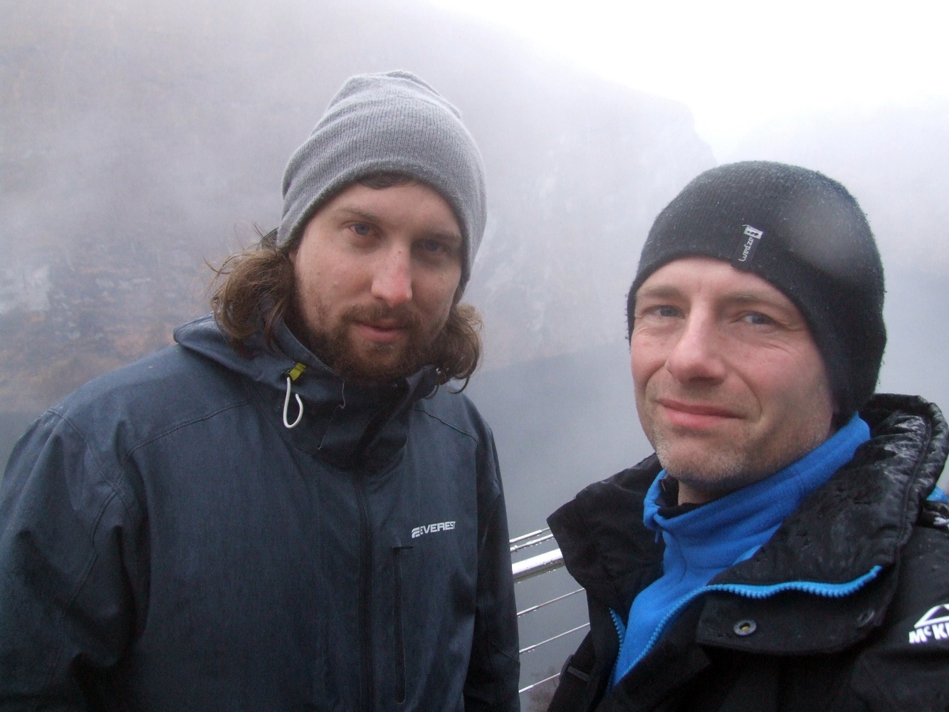
On our drive up toward the Jotunheimen massif, we soon realized that it might be risky to tackle this climb in my friend’s two-wheel-drive sedan, but we made it up anyway via a winding mountain road relatively late in the afternoon and were met by a locked gate a few kilometers before the actual parking lot at Spiterstulen. There didn’t seem to be anyone else around, and the place was desolate and bleak, with both snow and ice on the ground. We immediately debated whether we should head on foot past the barrier that same evening or camp here tonight, several kilometers from the point where we had planned to start tomorrow. But darkness fell quickly, so we set up the tent and parked the car along the narrow forest road next to the roadblock.
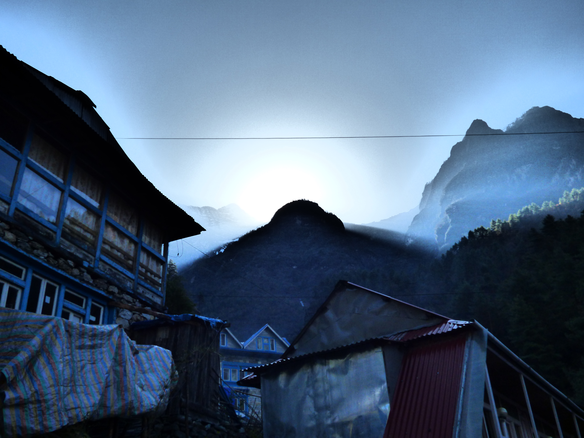
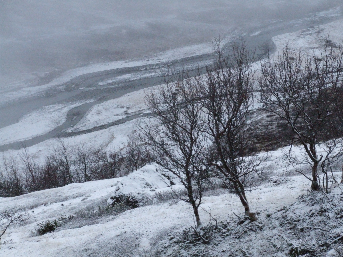
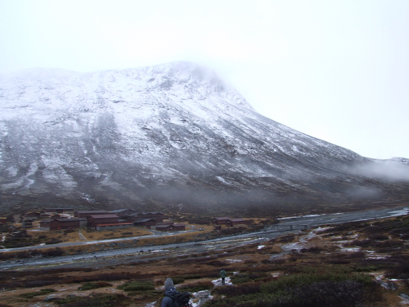
The next morning, we started with a good breakfast and packed snacks and food for a full day. But from the roadblock, we still had quite a distance to go to the starting point, and that was, of course, not ideal if we were to make it to the summit. I had a GPS track that we could follow on my handheld GPS, even though the trail is also well marked with red “T” symbols spray-painted on rocks along the way, as I had read beforehand. When we arrived at the station, it was completely deserted. And the mountains towered above the rapids flowing at the bottom of the valley on the other side from the station.

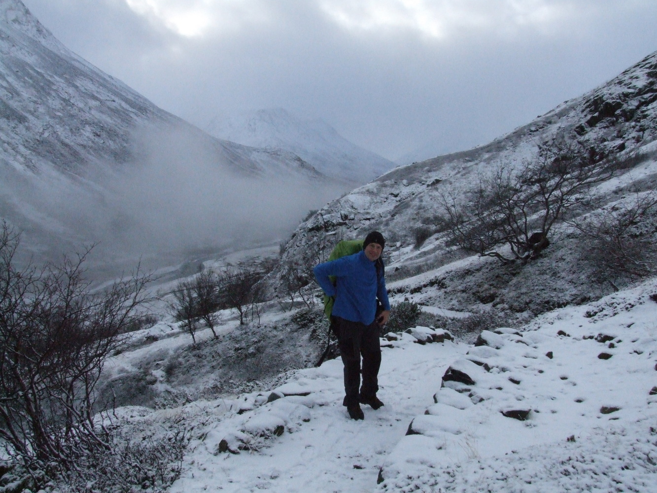
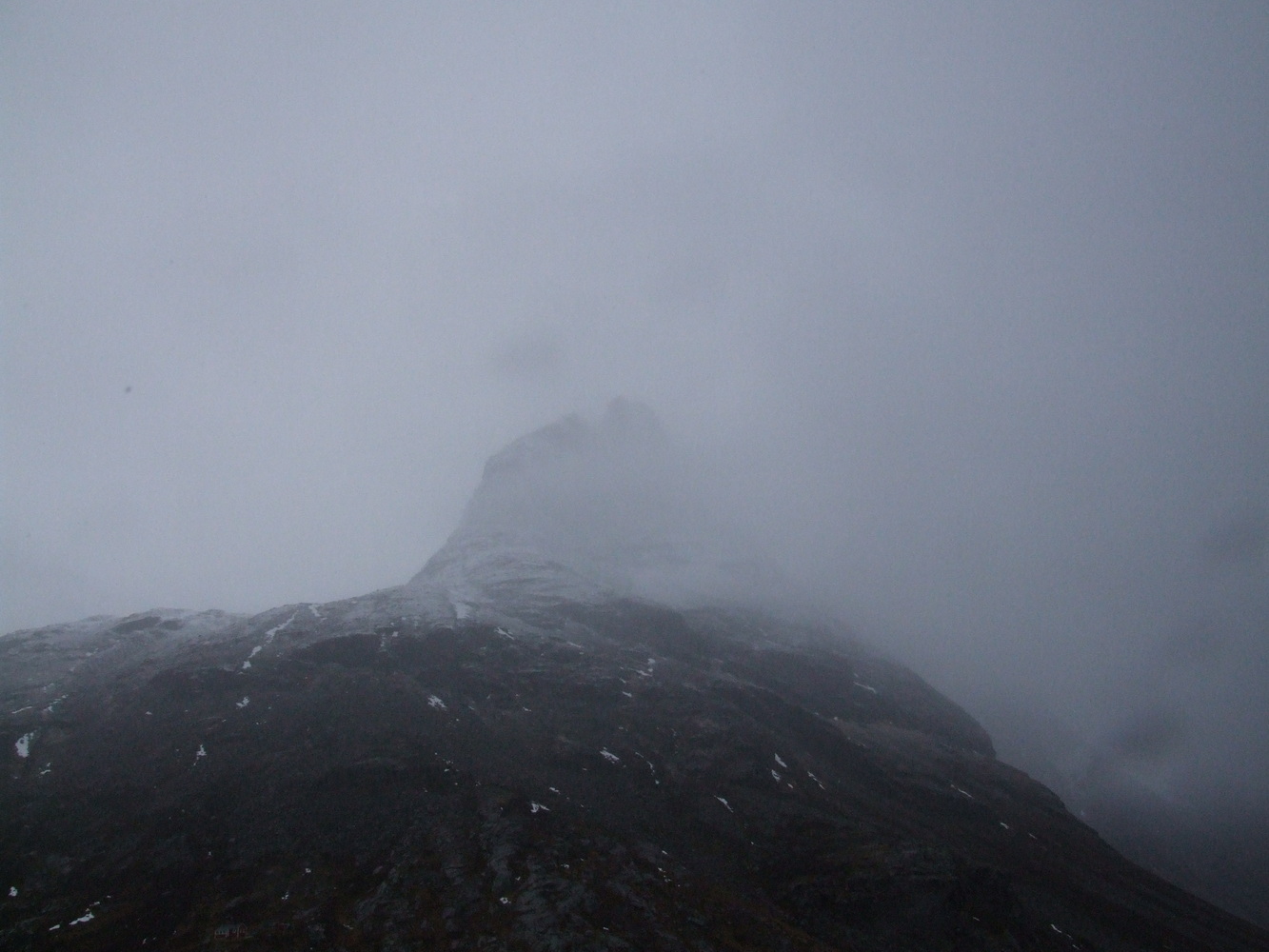
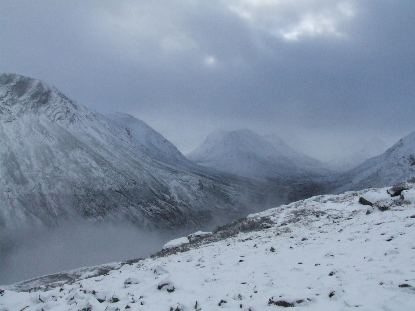
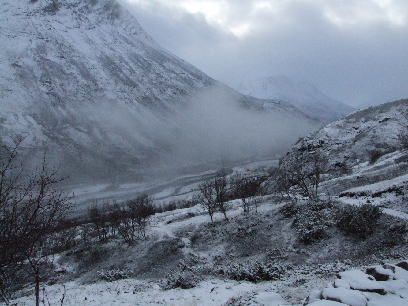
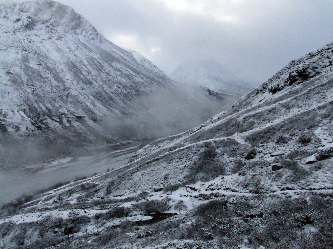
We began our ascent, and just a few hundred meters up there was already a thin layer of snow on the ground. It was fairly calm, and the surroundings were very beautiful, with the temperature hovering just below freezing. No problem at all when hiking and moving around. But in my mind, I hadn’t pictured a mountain covered in snow, even though it would, of course, have been logical if I’d given some thought to when winter starts here and how altitude soon makes a big difference.
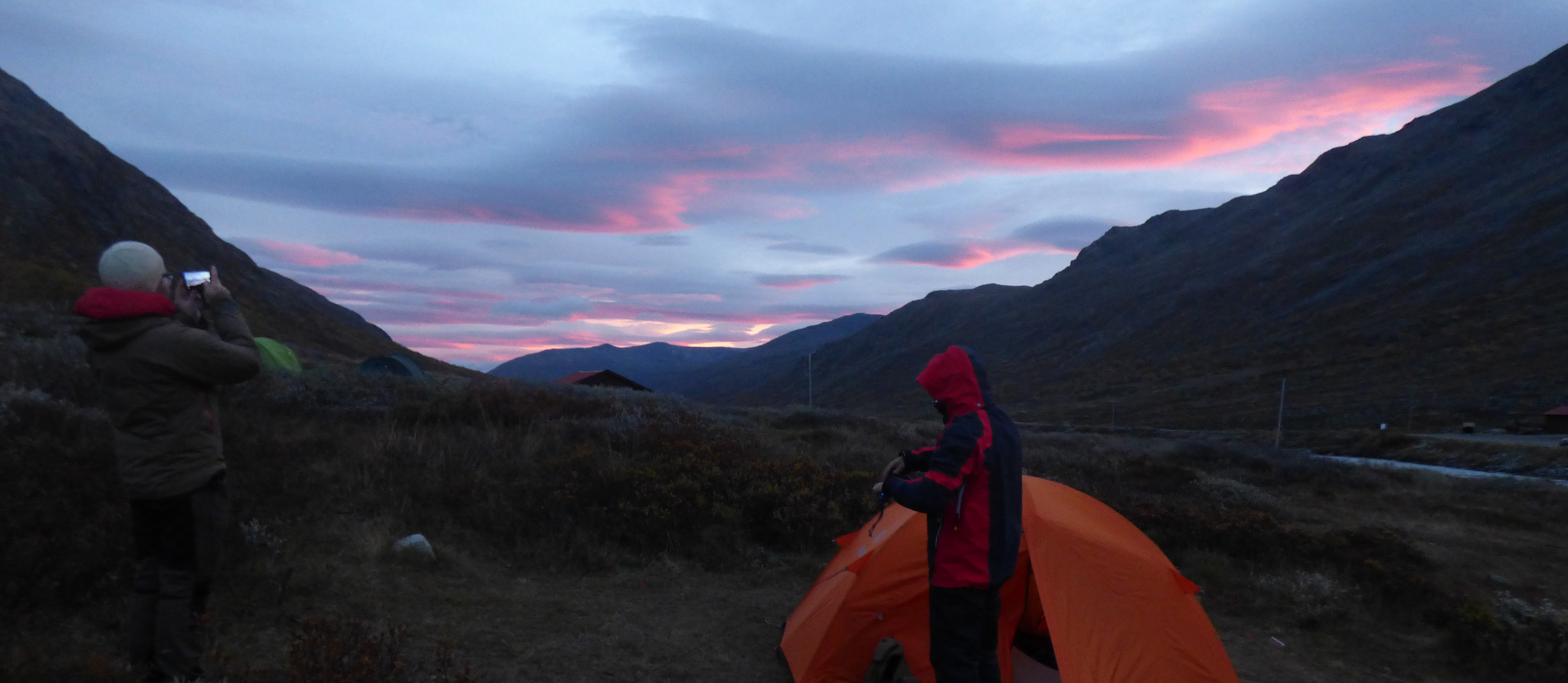
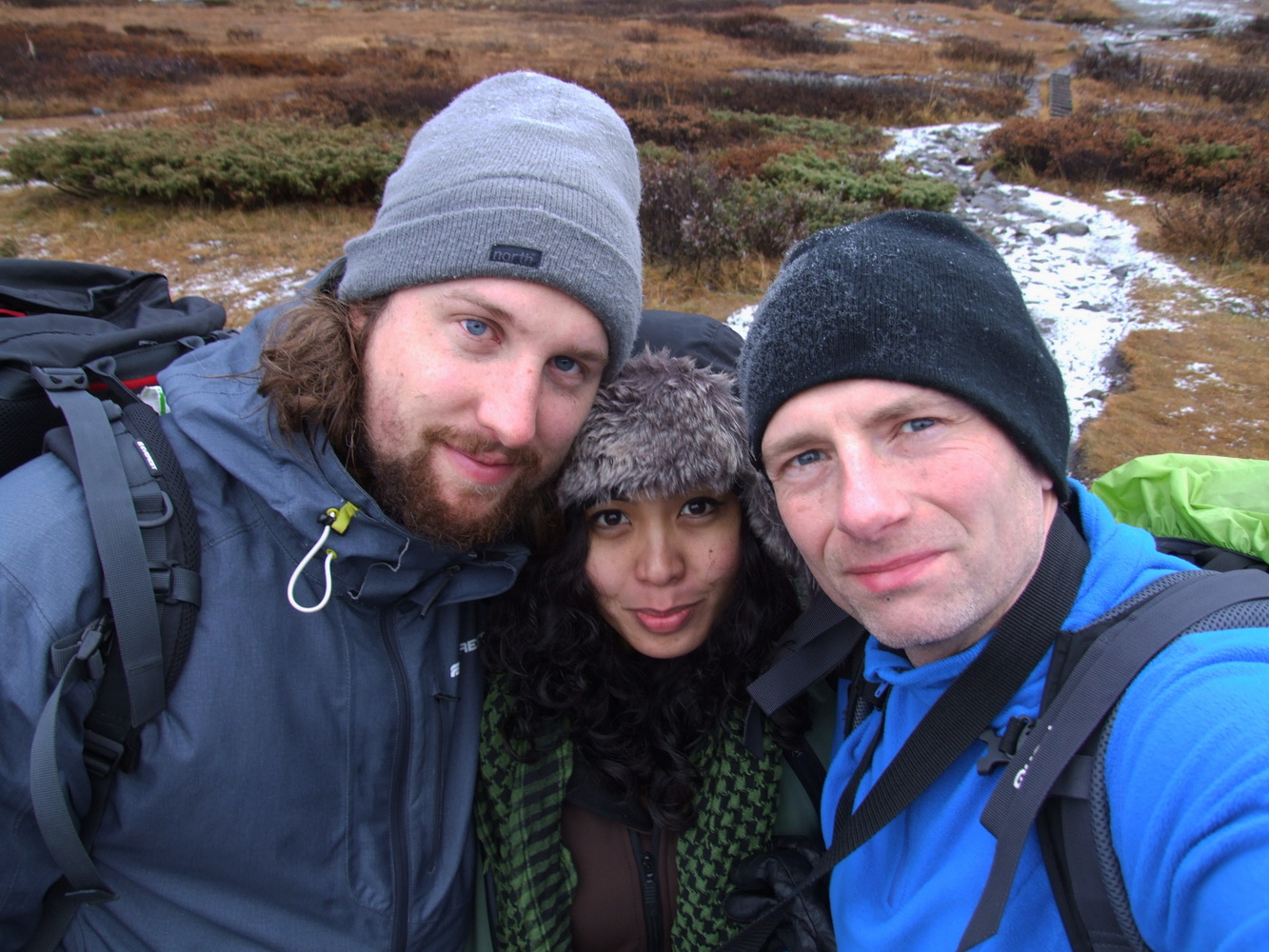
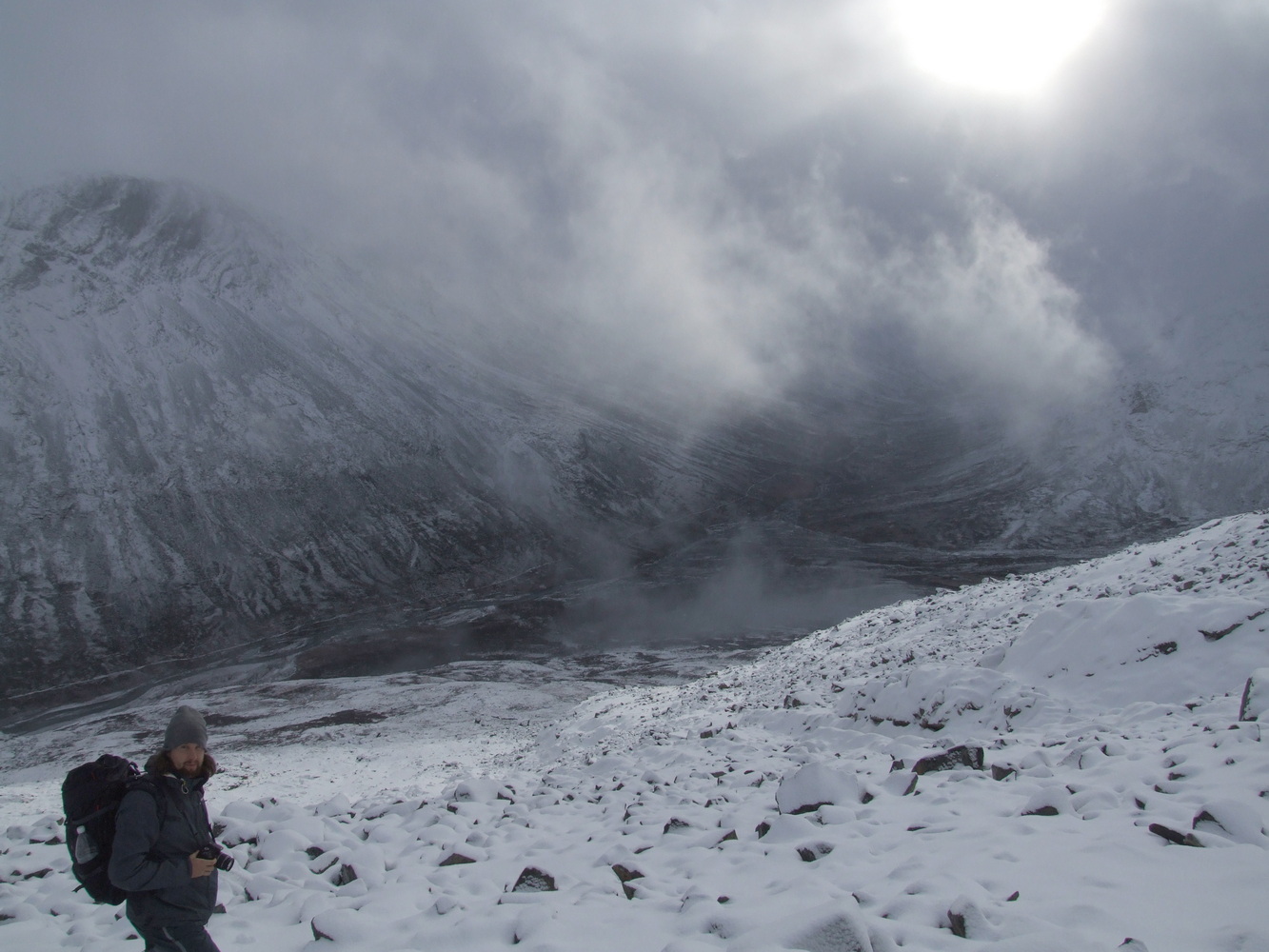
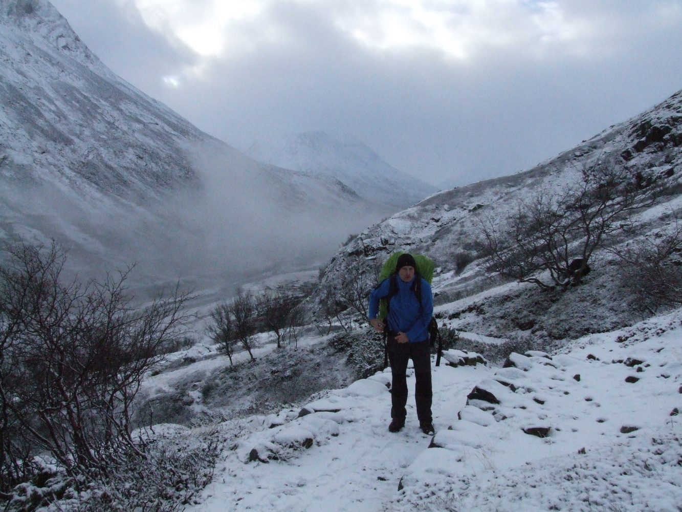
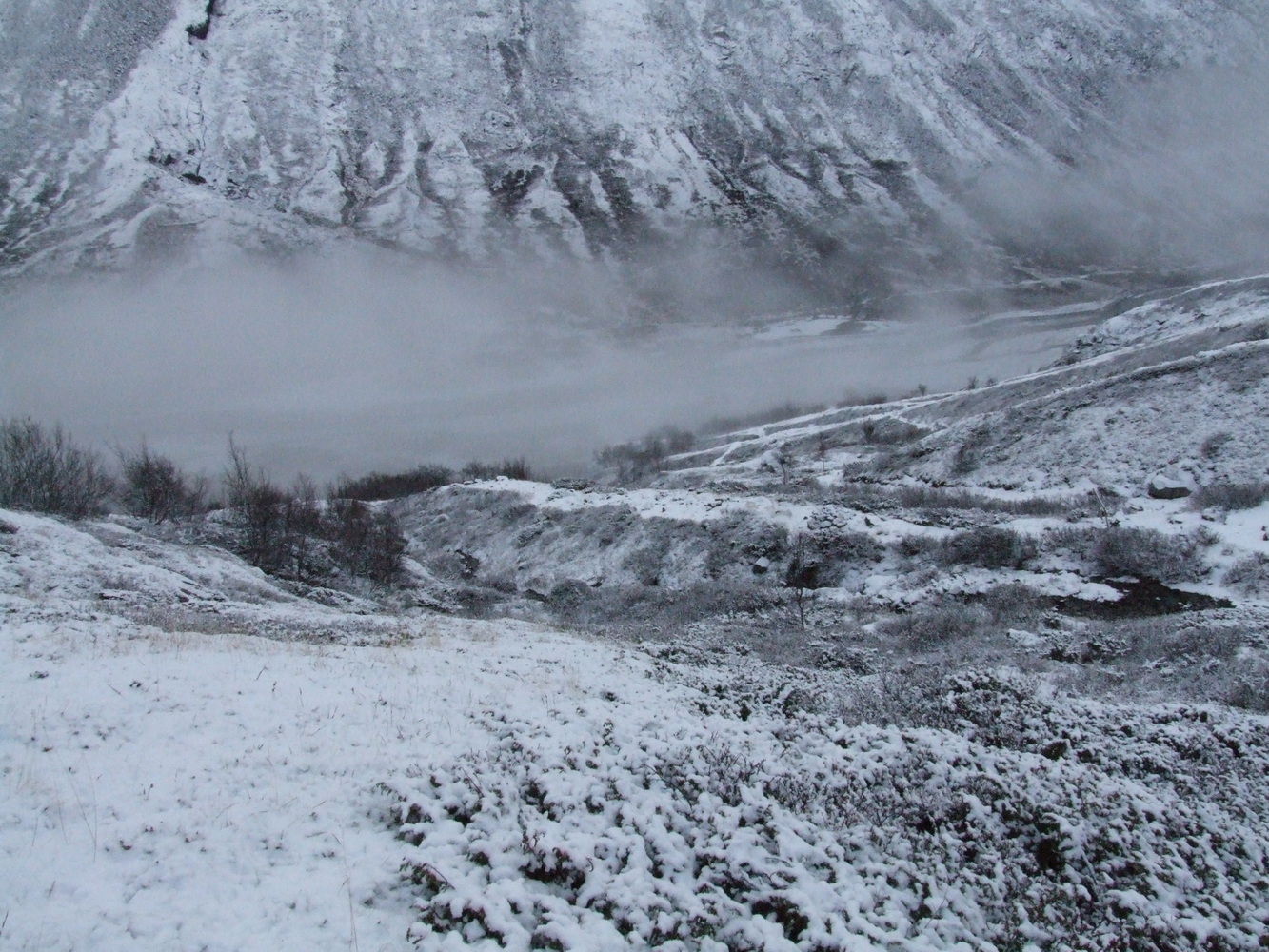
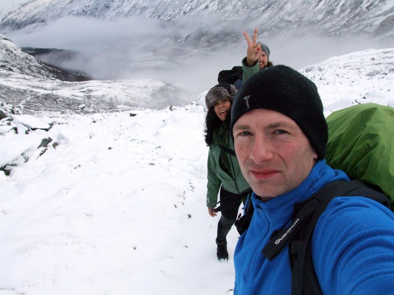
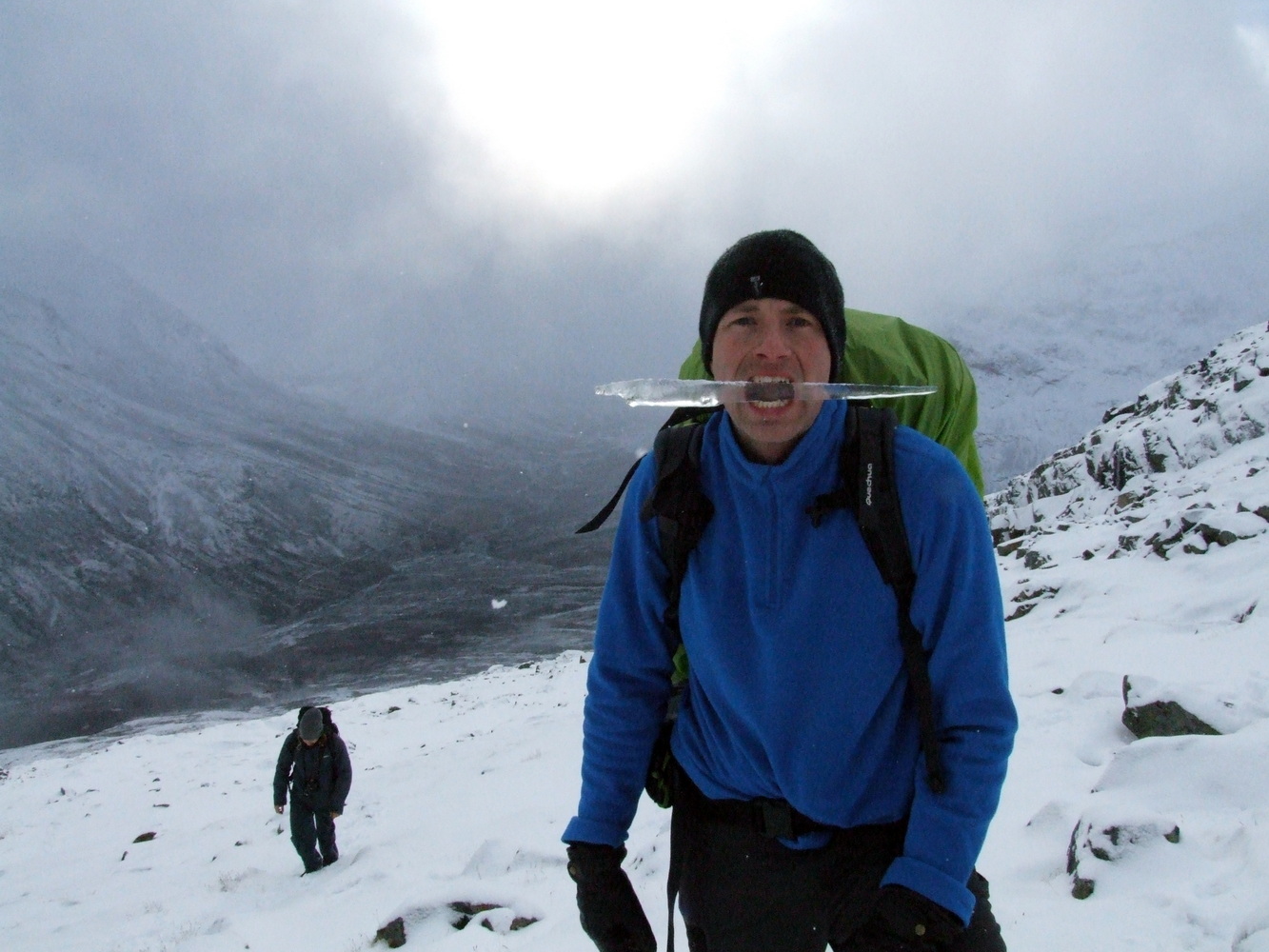
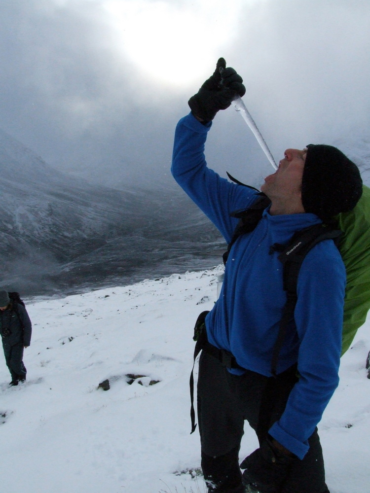
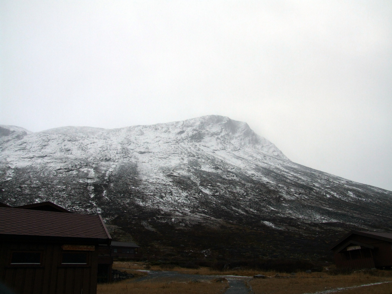
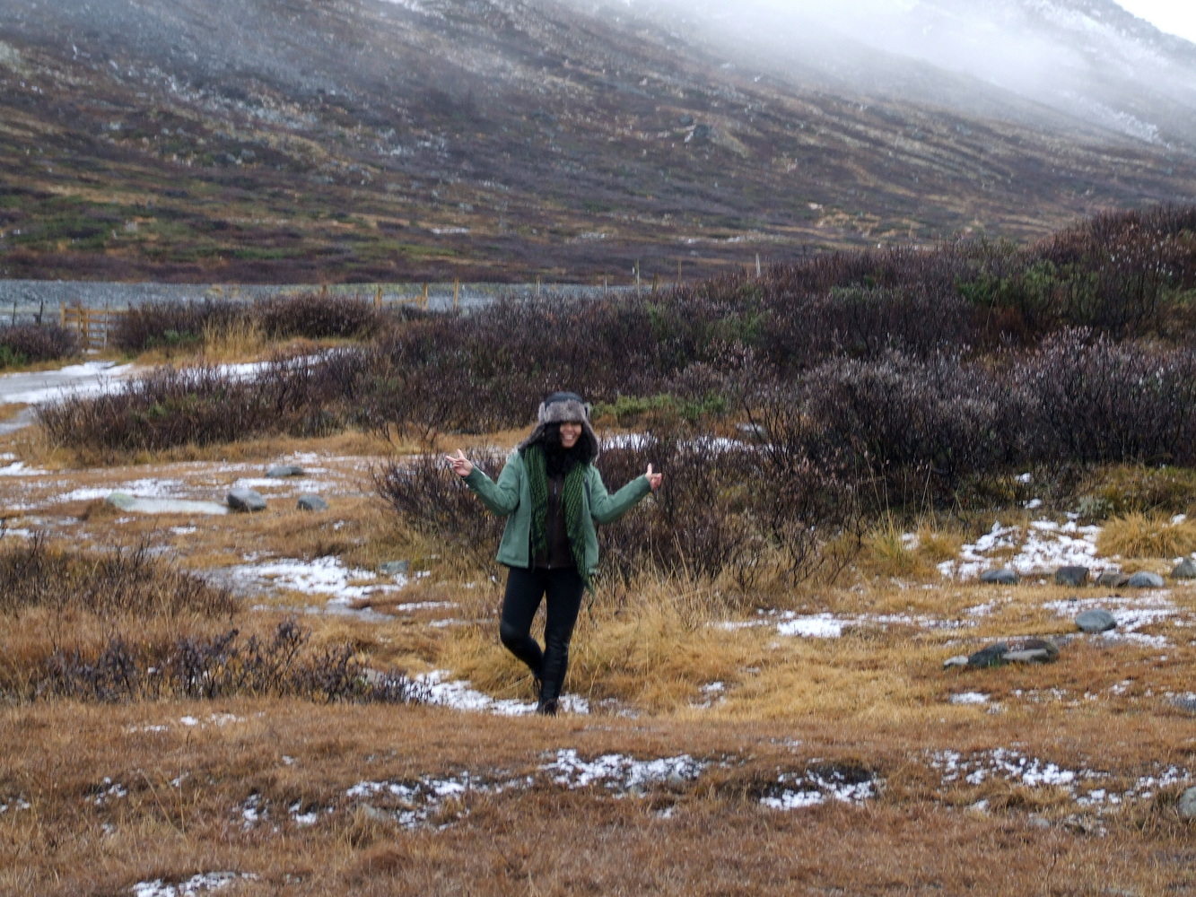
Nevertheless, we were excited about the adventure ahead of us and quite taken aback by the overwhelming view we had from the top of the mountain and the valley below. We stopped to take photos and marvel at the scenery every so often.
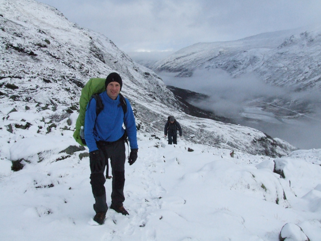
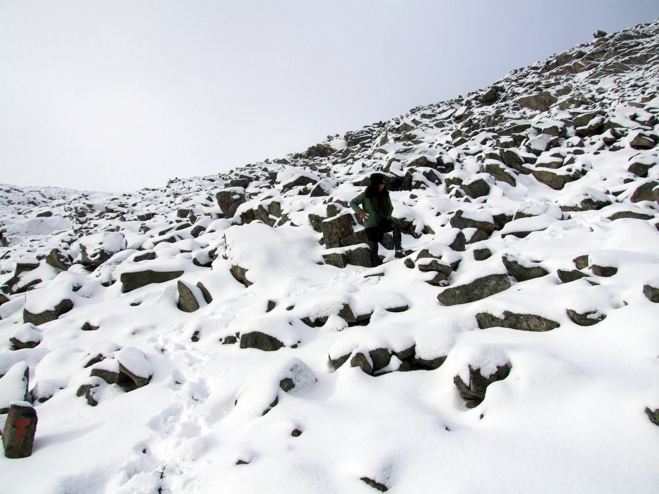
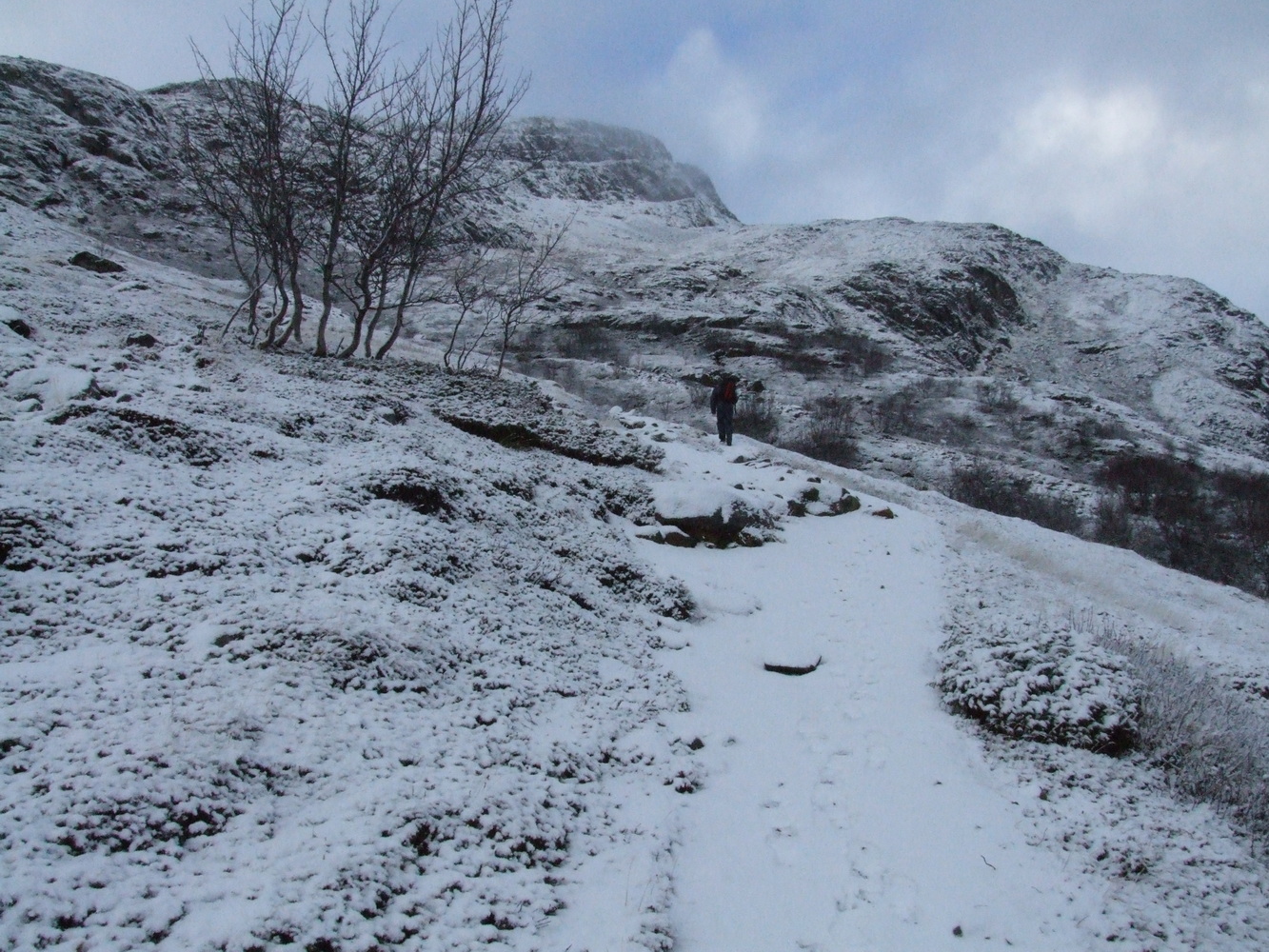
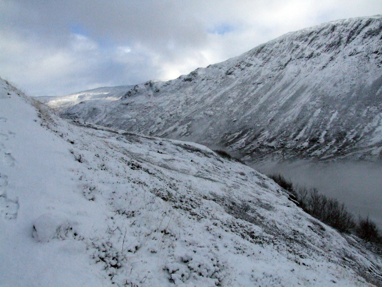
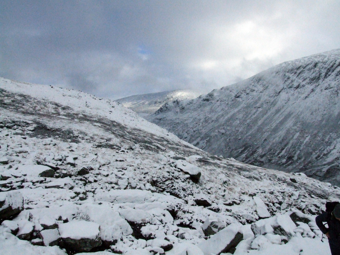
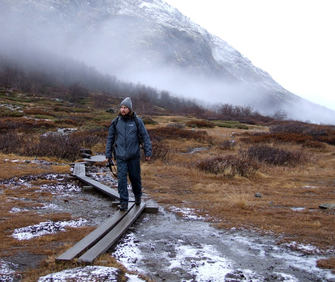
We left the valley behind us and climbed higher and higher up the mountainside. It was beautiful and peaceful below, and we were still feeling hopeful about the climb. The snow wasn’t very deep, and even though the trail markers were mostly covered, I felt reassured knowing I had the route on my GPS in case we couldn’t see the markers.
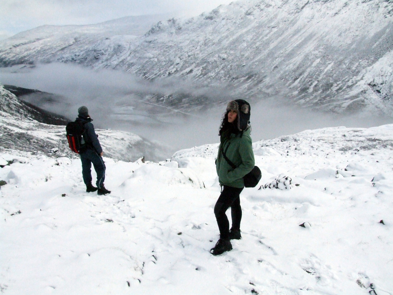
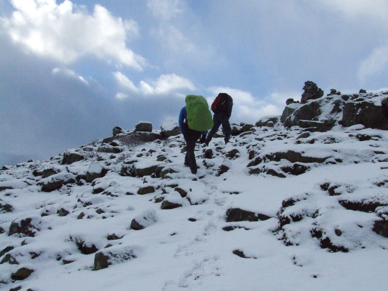
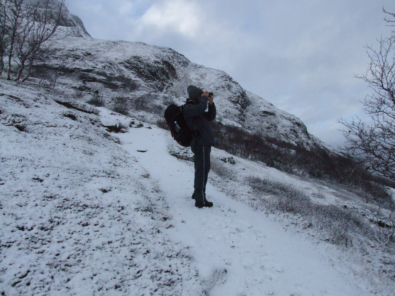
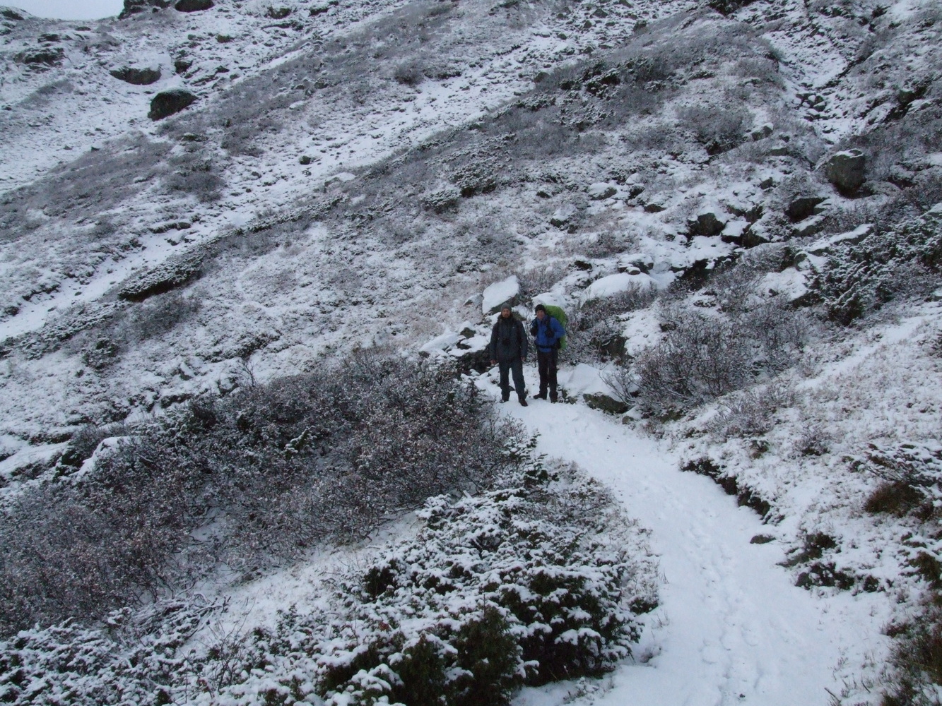
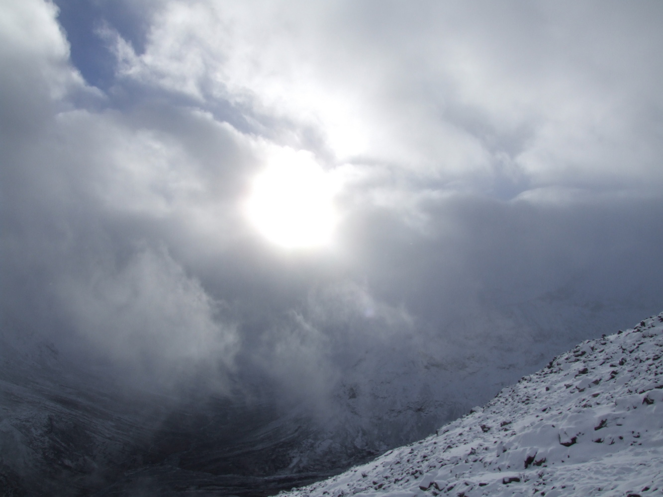
We were making slow progress, and we had soon passed the sun’s highest point of the day, which made me start wondering how far we still had to go before sunset.
In the end, we realized that continuing would have been dangerous on the trail in the dark. There were several factors we hadn’t fully considered, but this experience made me realize there were valuable lessons to be learned from attempting a climb this late in the season. The main factor was how quickly it gets dark, and that a climb at this time of year is completely different from a climb during the summer months when it’s light almost around the clock here in the north. The second factor is that the snow made it harder and the hike went slower than expected. And even though I could navigate with GPS, the trail markers were virtually impossible to see higher up. There was also deeper snow in the depressions at higher elevations, and on uneven terrain it’s easy to step off course. We also weren’t equipped with good protection to keep snow out of our boots, and we lacked crampons for the boots to handle any slippery conditions and ice higher up. The setback of having to start several kilometers earlier due to the road barrier and thus losing daylight hours also played a role. Hiking down in the dark with a headlamp wasn’t safe.
We decided to turn back and make our way down safely while we still could. Our highest elevation was about 1,800 meters above sea level. Reaching the summit is only half the battle; the descent can often be much more difficult, and when you’re tired, it’s easy to misstep and injure yourself. Things can get dangerous very quickly. I hadn’t given up on climbing this mountain, but this time it was absolutely the right decision to call it off. I would return and climb this peak a few years later, but that’s another story.
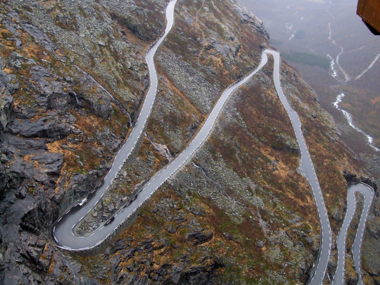
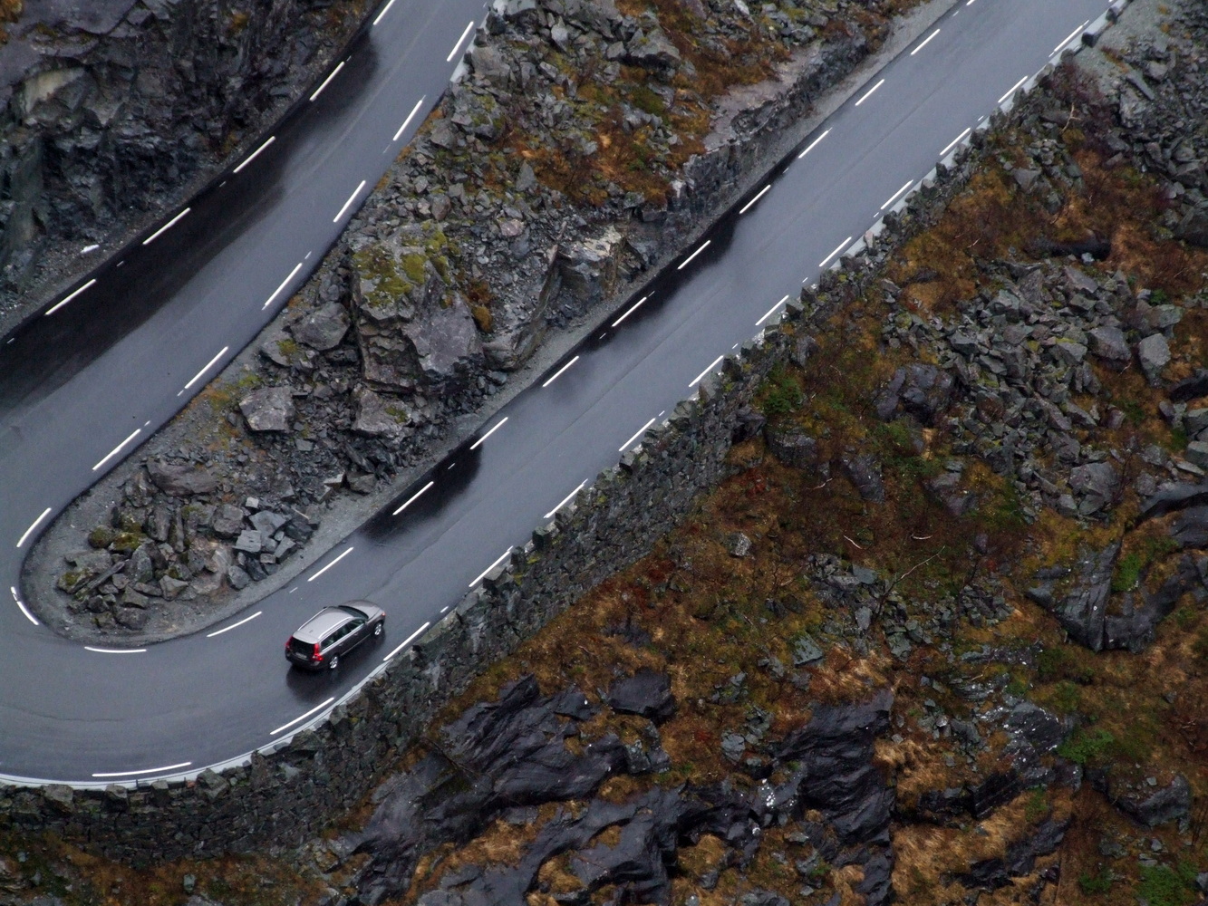
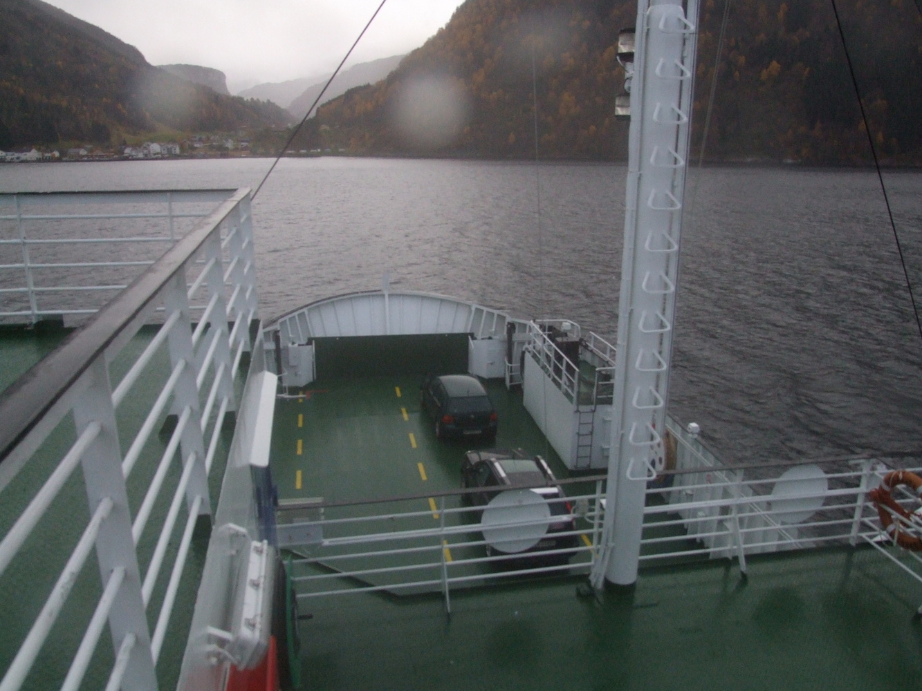
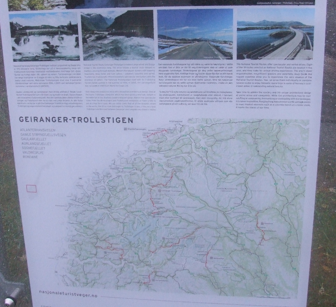
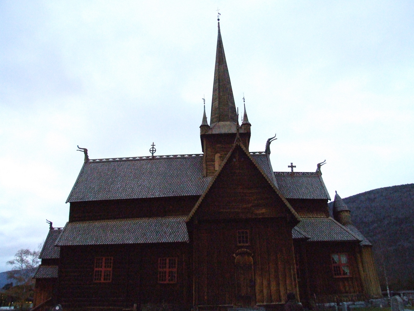
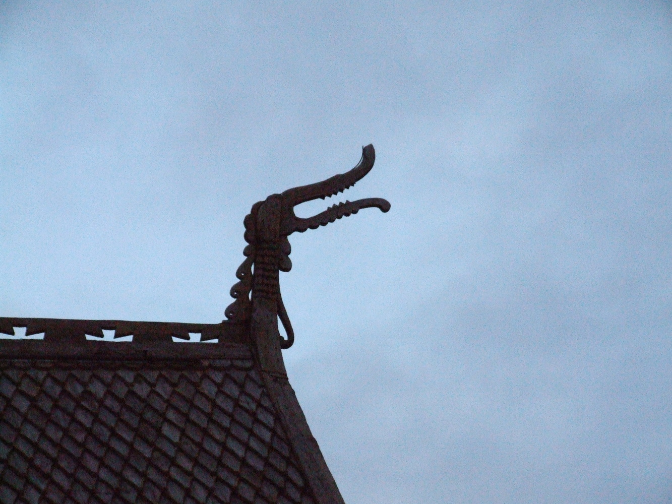
We took the opportunity to go and see some other beautiful places since we had a whole day at our disposal before we had to head back. We had talked about how interesting it would be to drive through Trollstigen, a road that winds its way up a mountain pass at 850 meters above sea level in the Romsdal Valley. It’s closed during the winter, but we hoped it would be passable since it hadn’t snowed that much. But first, we stopped at a beautiful stave church, which is characteristic of Norway.
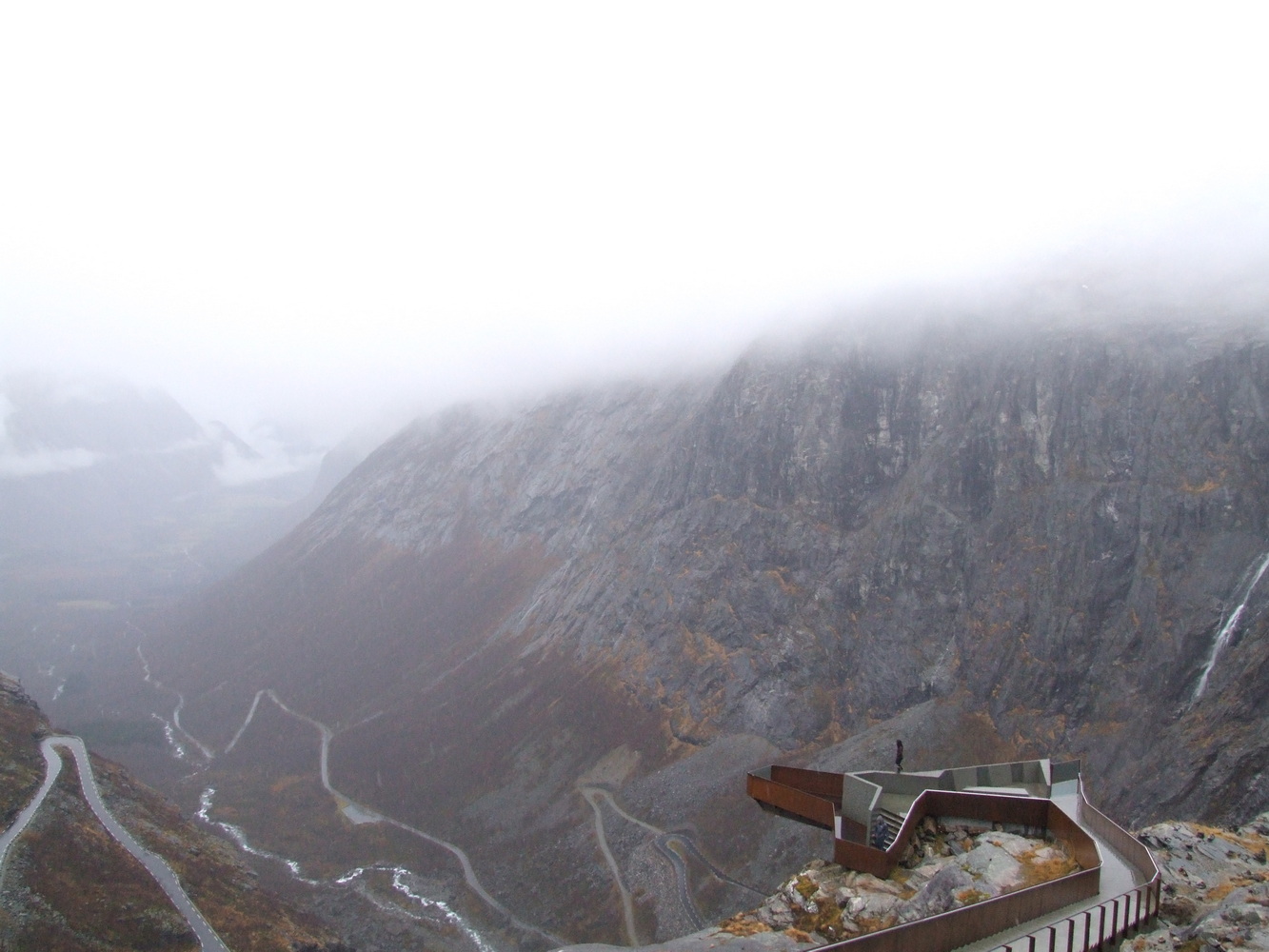
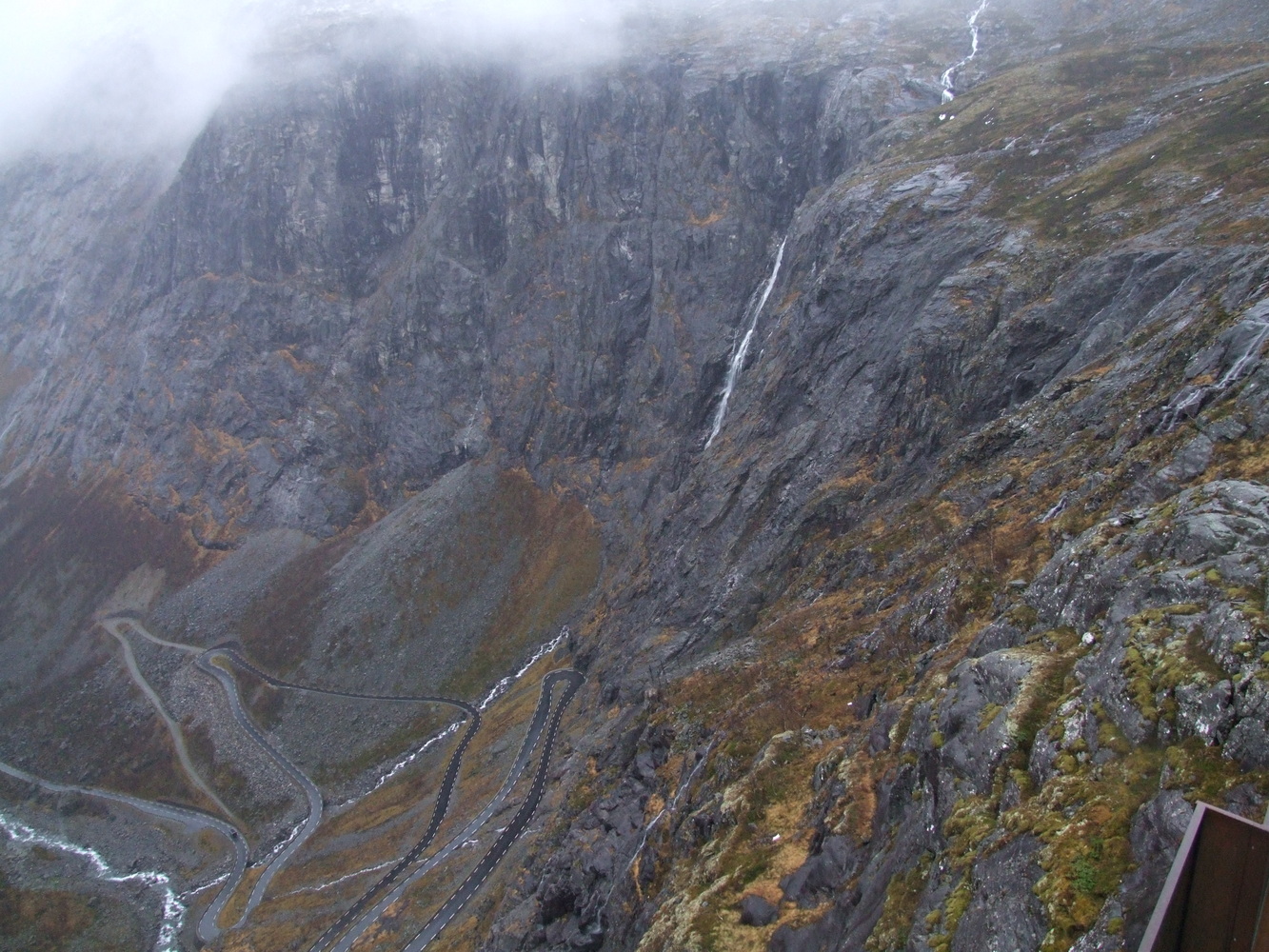
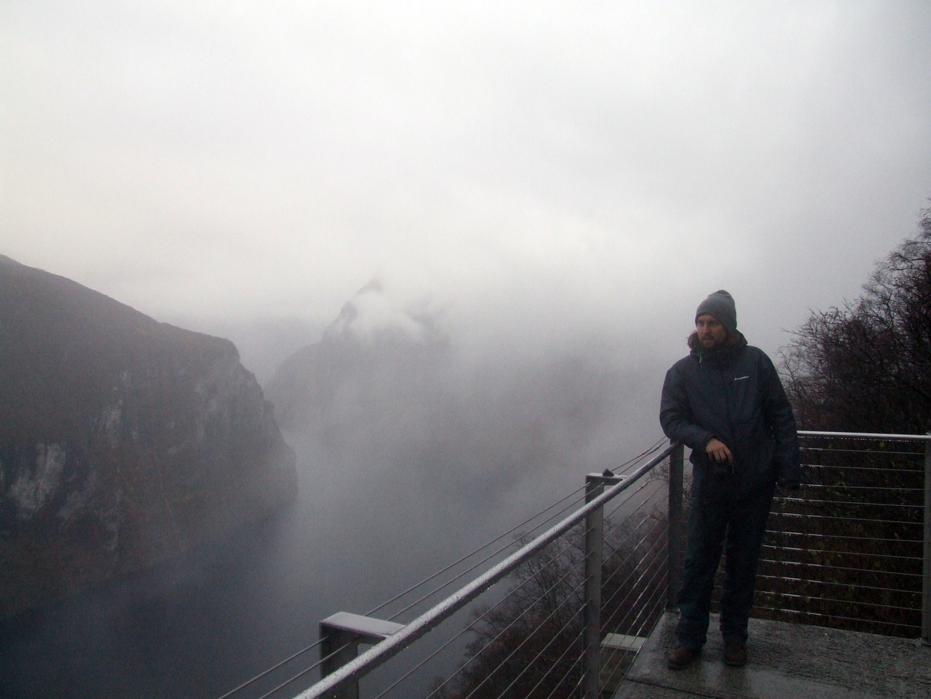
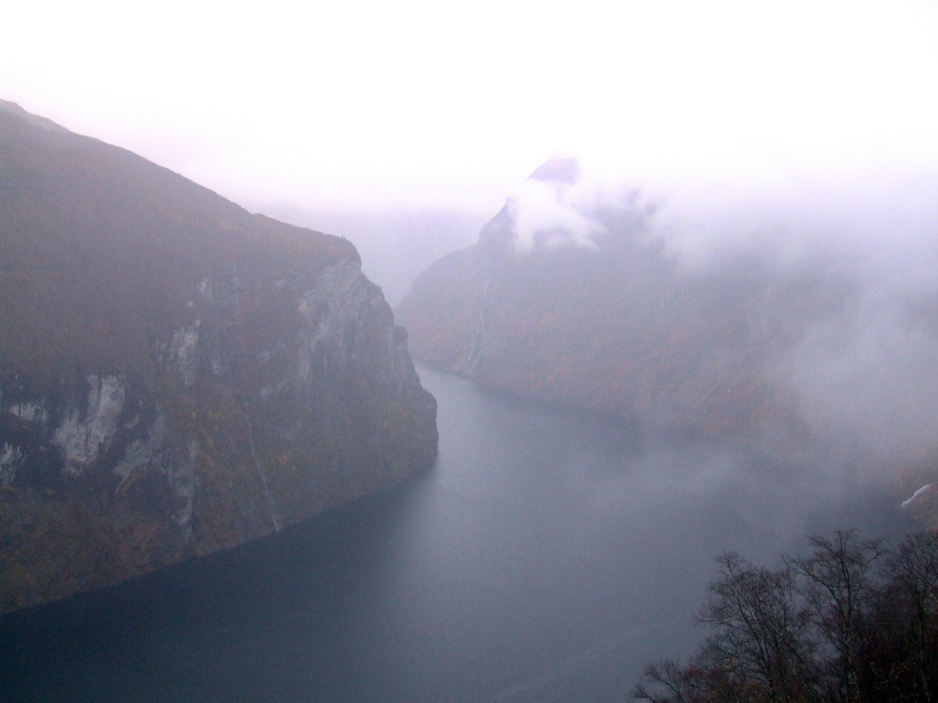
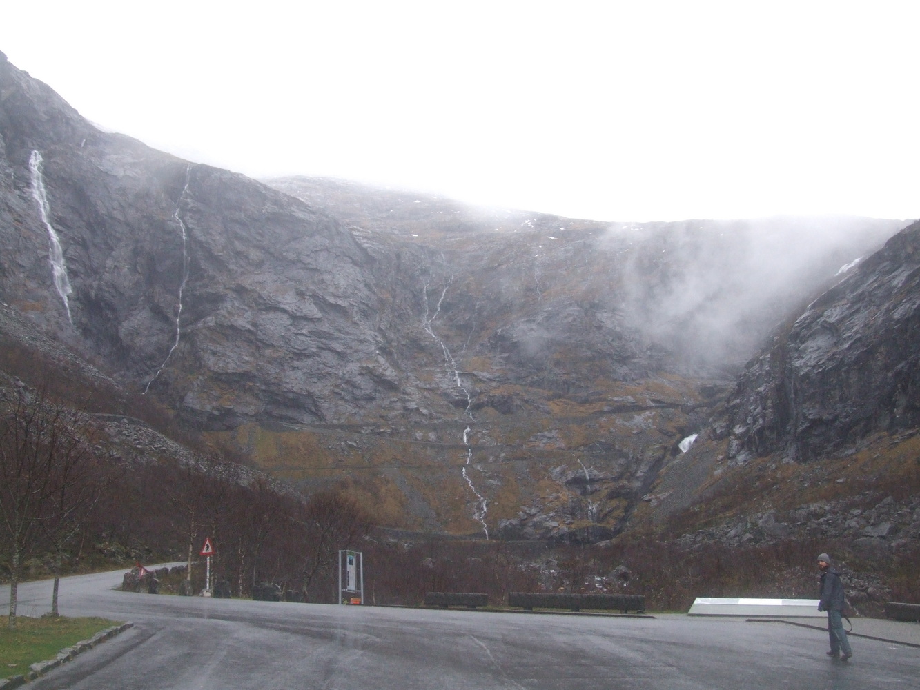
When we arrived at Trollstigen, we stopped at the bottom of the valley to take some pictures of the massive rock face, with several waterfalls hundreds of meters high cascading over the edge. What a sight!
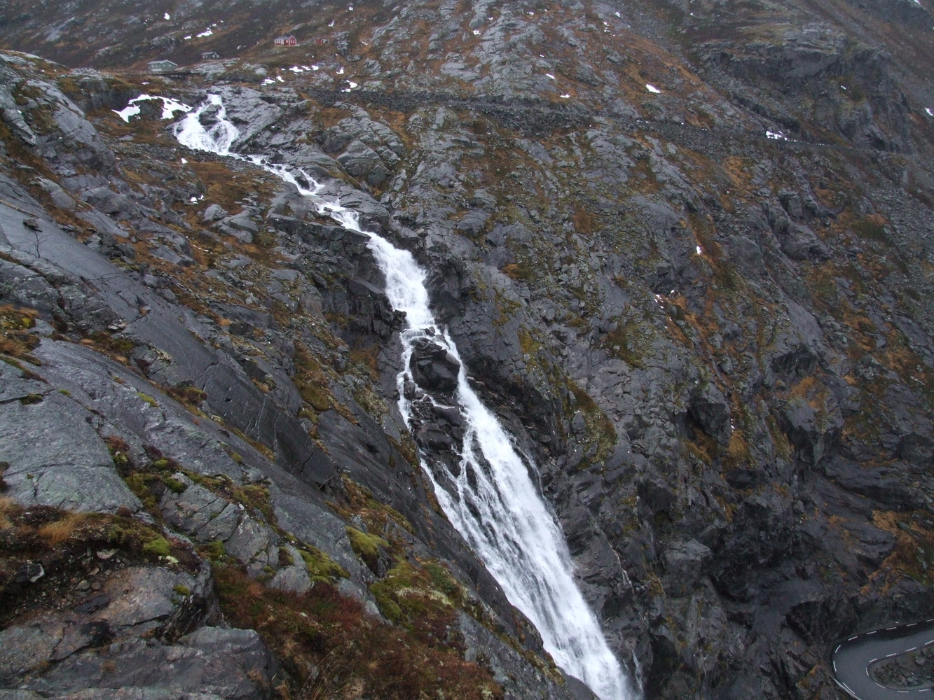
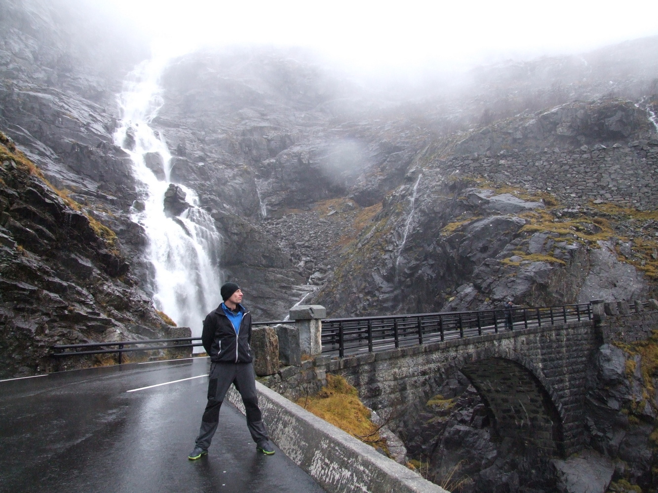
A short way up Trollstigen, you come to a waterfall that is a couple hundred meters high and flows under the road bridge, where the water plunges another hundred meters down into Stigforsen.
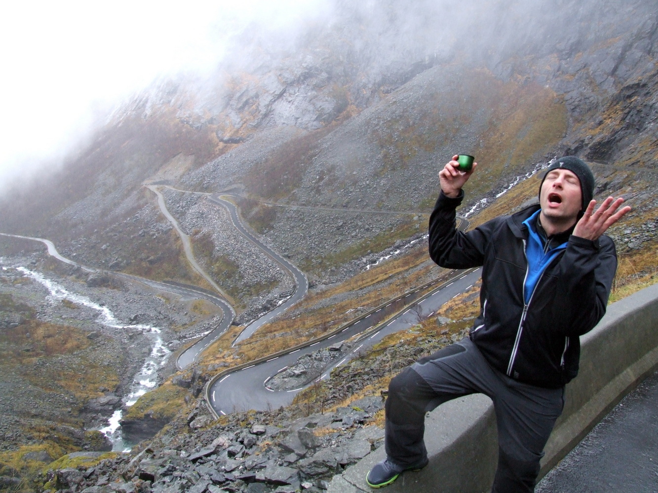
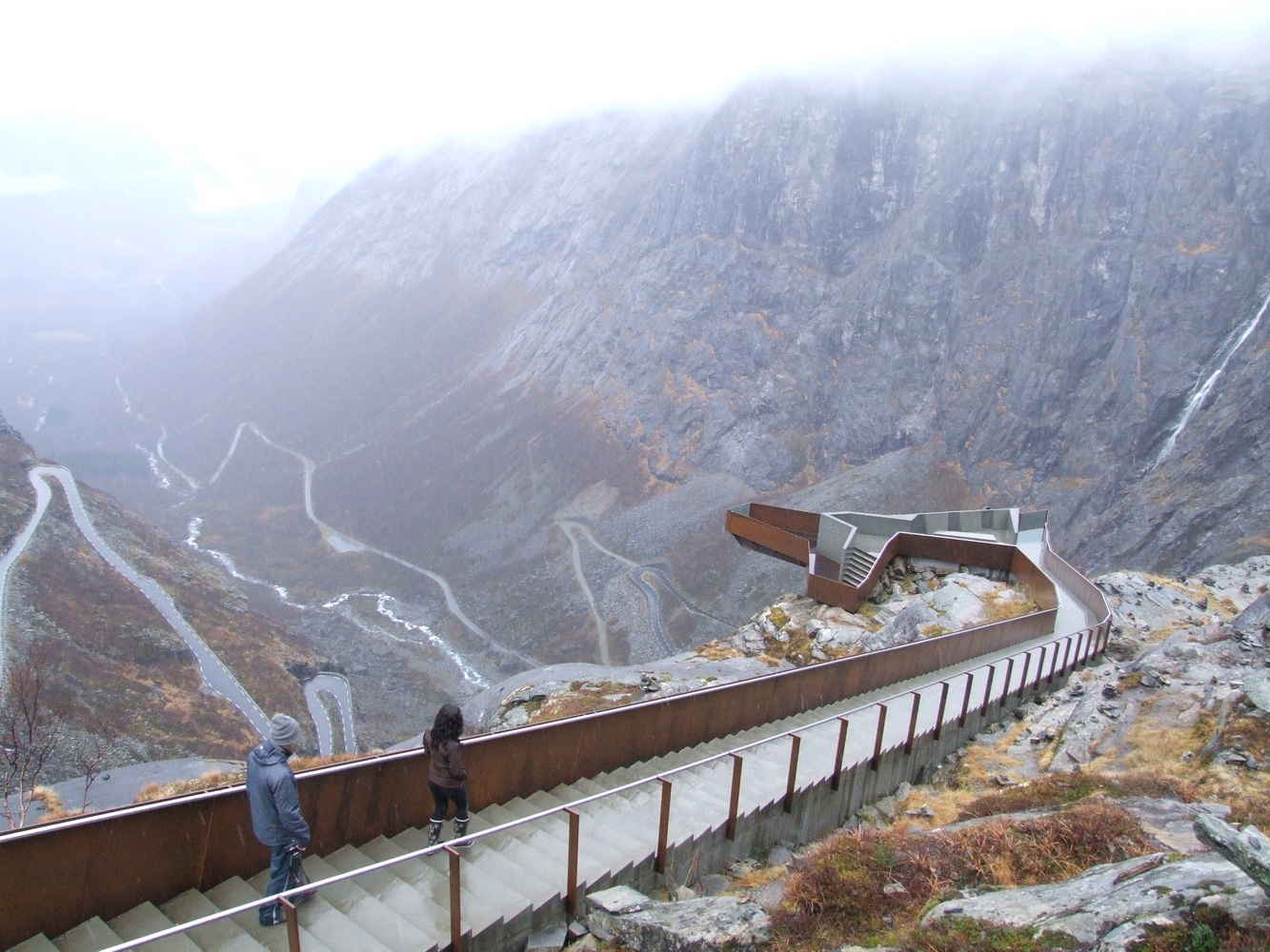
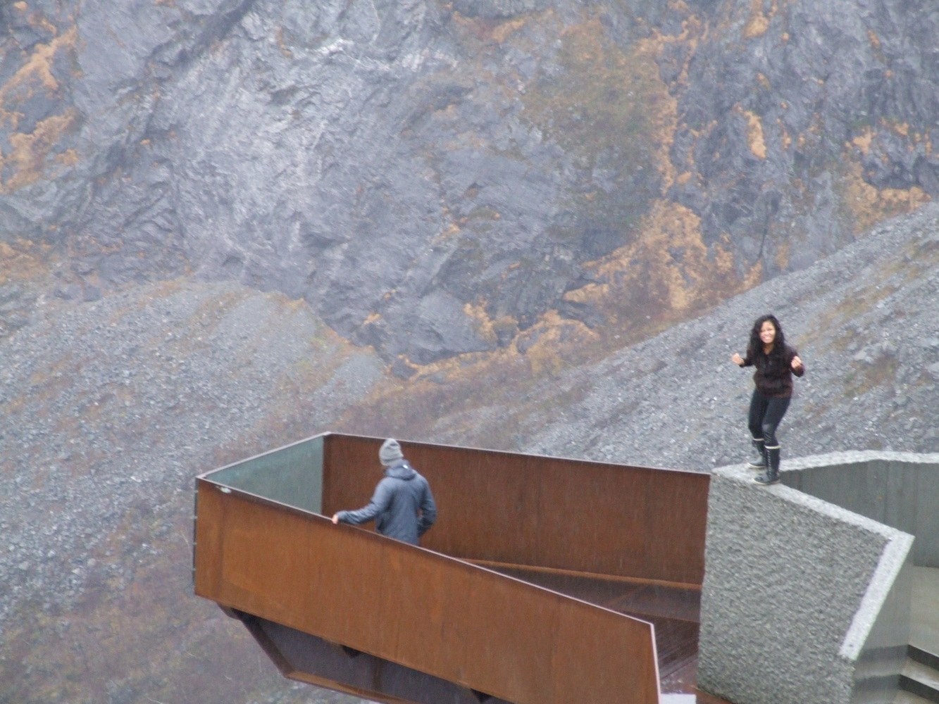
This place is usually packed with tourists, so getting to explore it and have it all to ourselves made up for the fact that the weather wasn’t the best. The view down the winding road with the waterfalls trickling down the mountainsides was breathtaking. The museum at the top of the pass, which tells its history, was closed, and we learned from a local that the road would close for the season the following day. We were very happy to have had the chance to see and experience this view before continuing on to Geirangerfjorden and the Seven Sisters waterfall, which has been frequently featured in the opening sequence of the TV series Vikings. A bit more humbled by winter climbing and armed with new experiences and lessons learned, my friends and I then headed home.