Sometimes it doesn't turn out the way you think, but it's still good. In Rodane, I had two very different experiences. One verges on dangerous and the other very satisfying. Let me start from the beginning. My friend and I had planned a long weekend with three days of hiking in the Norwegian mountains. For me, it was my first time in this part of Norway. Rodane with its national park is located south of Dovrefjäll and it takes a couple of hours to get to from Lillehammer. We had left from the west coast of Sweden and were going to take the car as far as possible and then hike in towards the many nice two thousand meter peaks that are located quite densely in a cluster around the crown jewel which in my opinion is Rondeshuset, the highest mountain peak in the area. The idea was to climb it as well as any of the others as well.
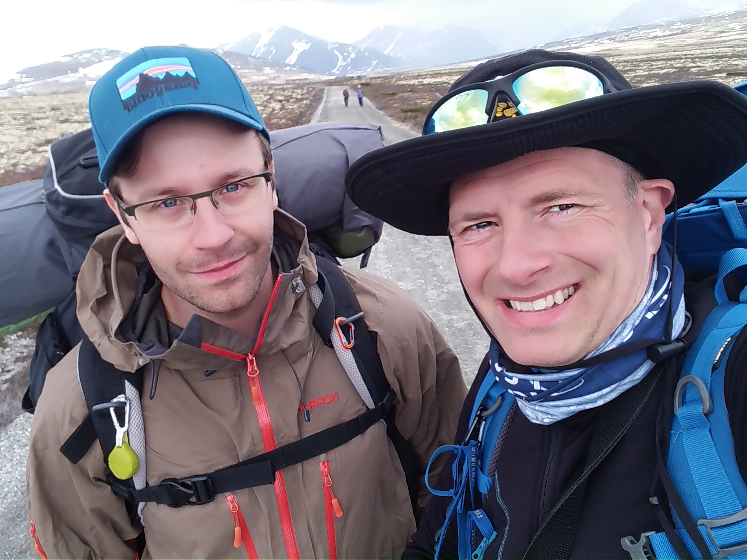
Me and my friend had climbed some peaks in Norway before (including Galdhöpiggen, the highest mountain in the north) and we felt that this tour would be good and that we would be able to easily reach the top of at least two of the possible two thousand meter mountains during a long weekend in the Rodane massif. We drove on crooked roads into Mysuseter a little east of the village of Otta and on winding dirt roads to park as high up as we could to get where the hiking trail starts and the car road ends.
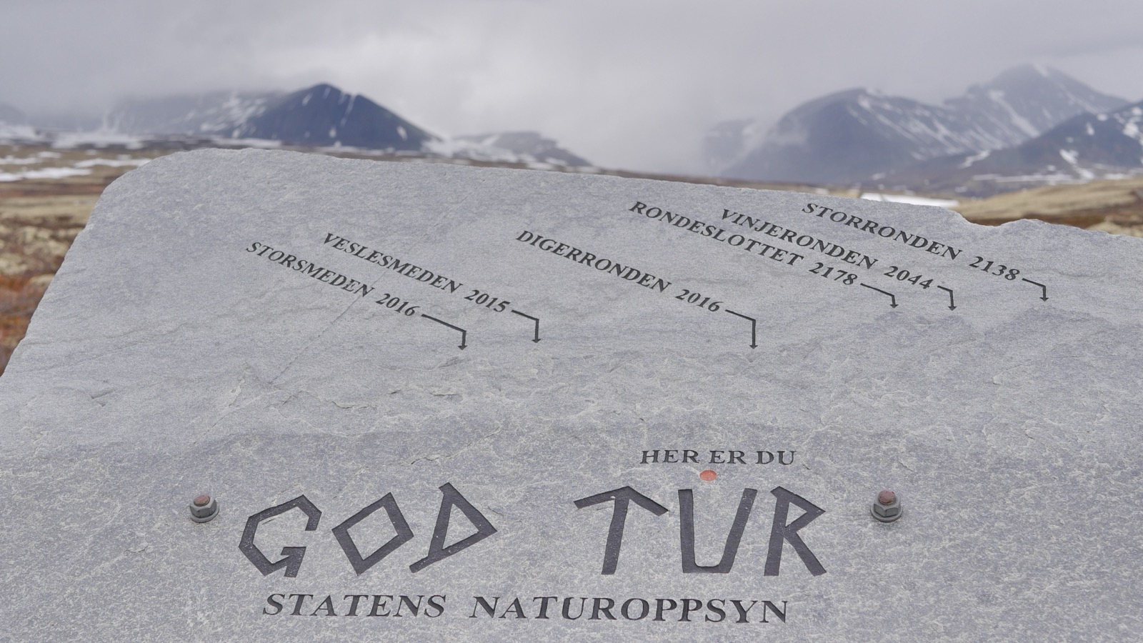
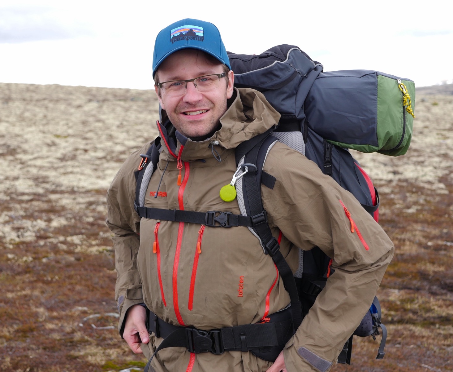
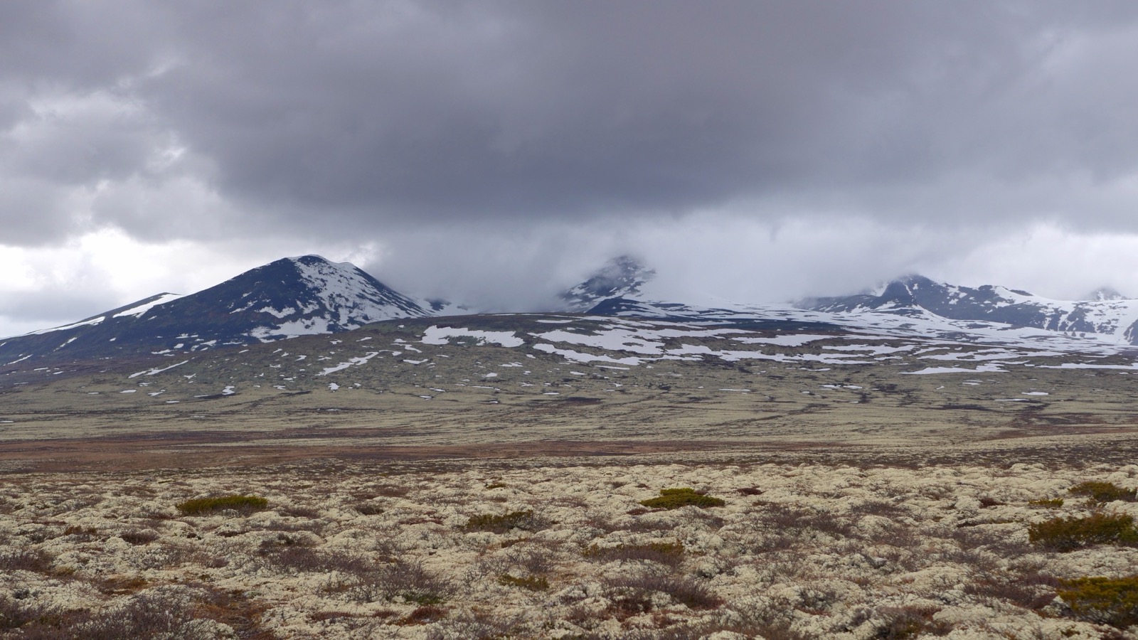
It was already late afternoon but the sun barely sets for more than a few hours this year so we actually had plenty of time before we would have to find a tent site. It was good hiking weather for being in early June which is early in the season. Of course, maybe a little bit of wind, and a cloud cover that was quite heavy over the mountains, but it was nothing to worry us. It's nice to get out of the car after 9 hours on the road. It was pleasant to put on the backpack and leave civilization behind. The beginning of the hike always takes a little while to get into and get comfortable. You can immediately feel the climb and the equipment, but it didn't take long to get used to the backpack and the effort. We soon felt warm in our clothes and it moved quite fast towards the mountains. We stopped at a sign where you could see the mountains on the horizon and see the name of the mountains on the sign with heights. Underneath we read “God Tur” As they say in Norway to wish you a good mountain trip.
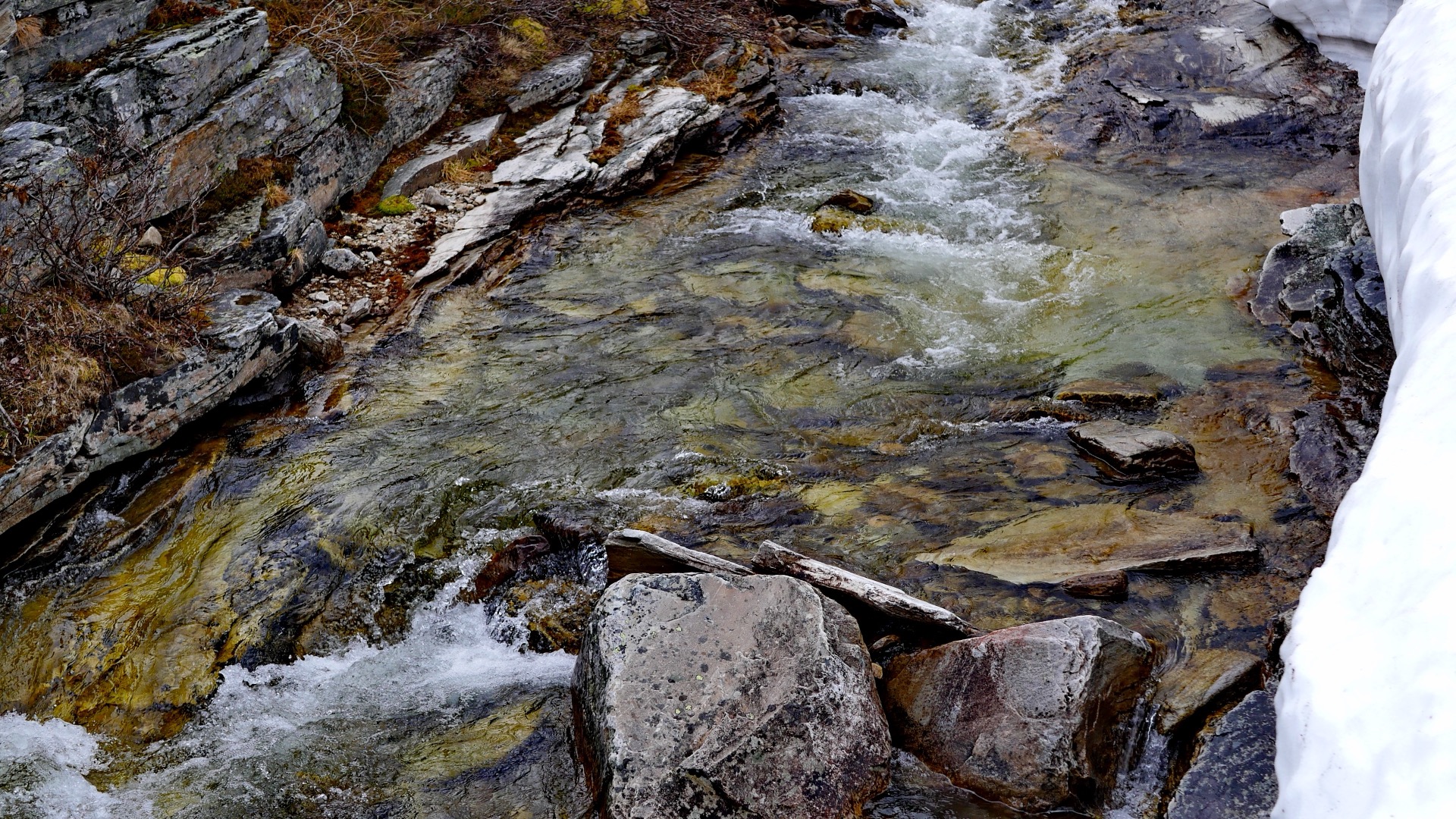
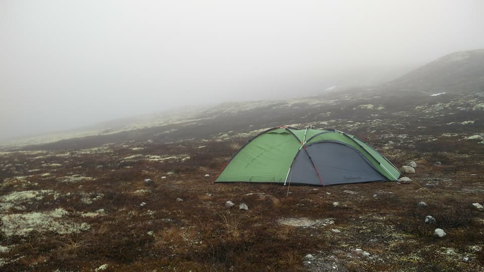
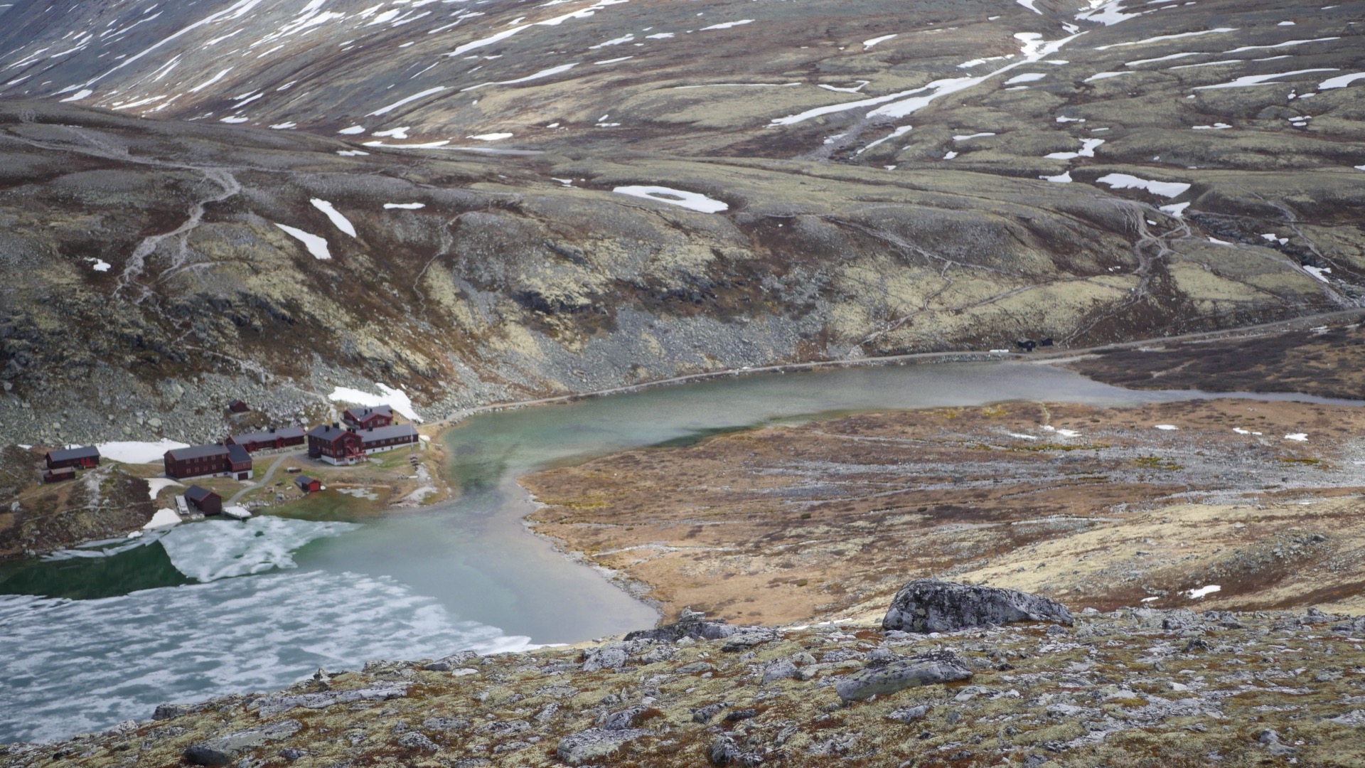
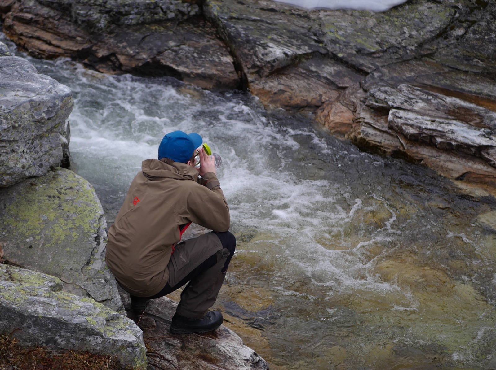
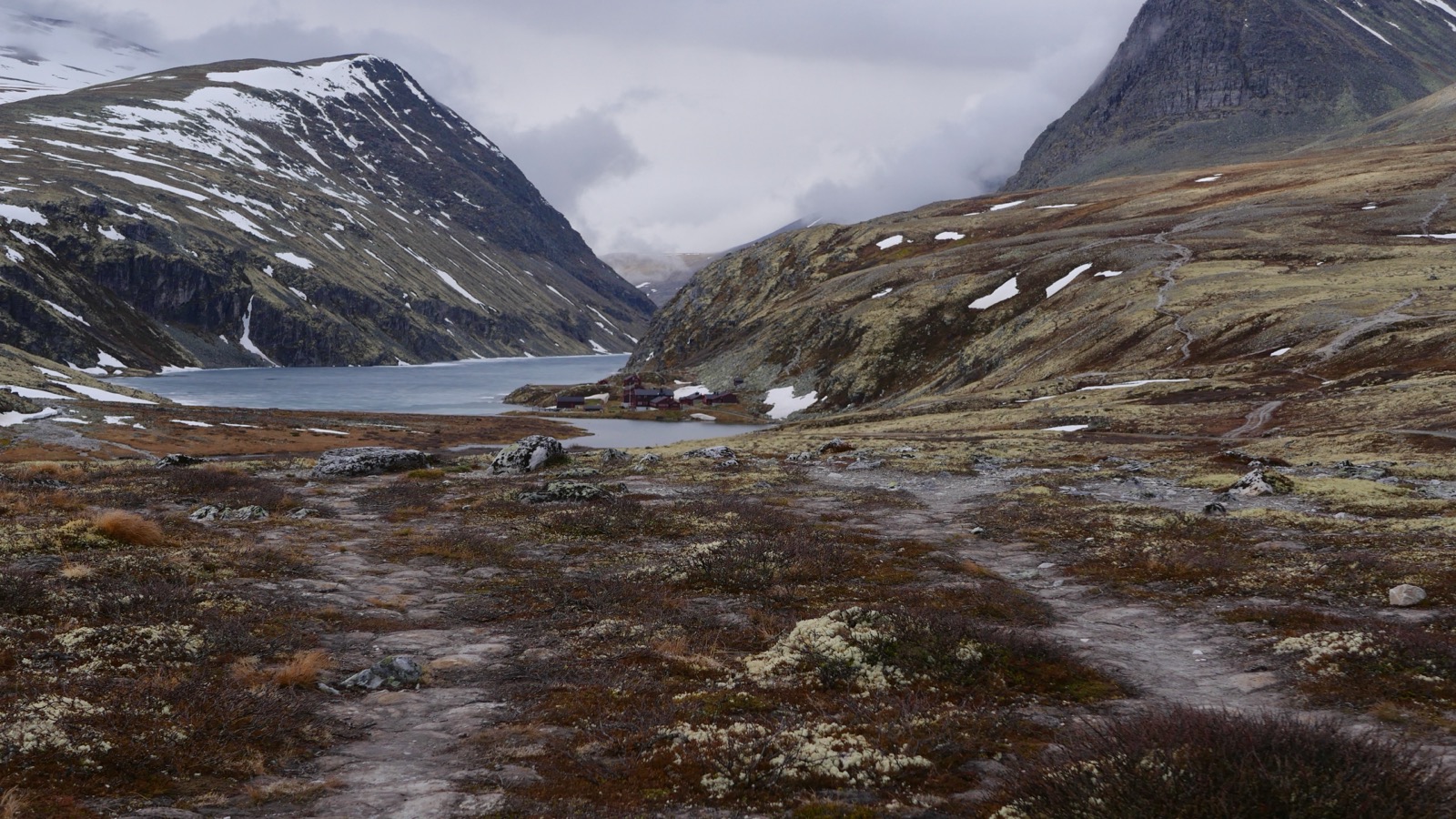
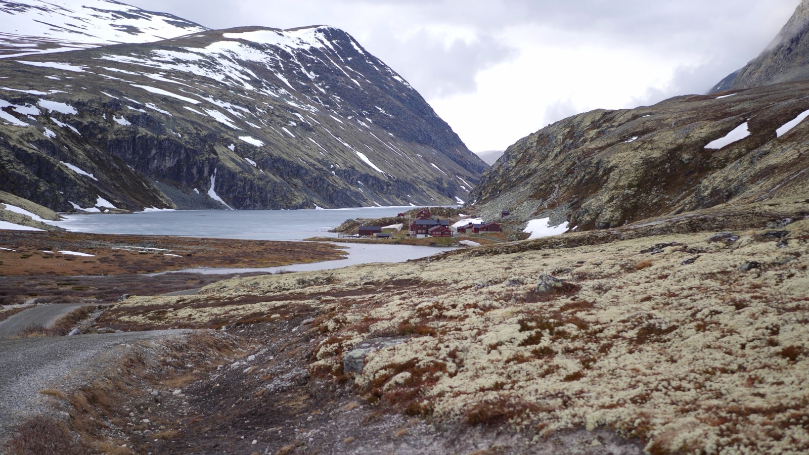
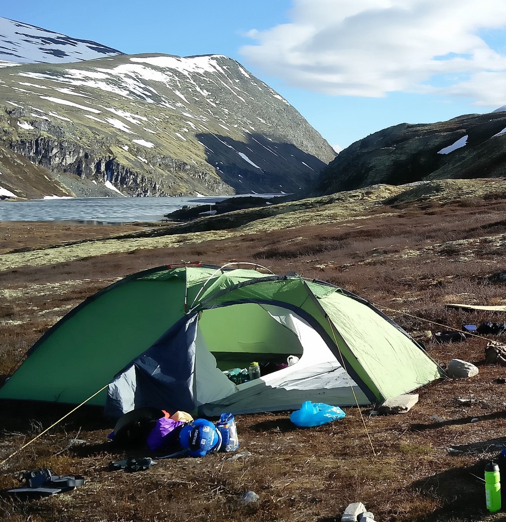
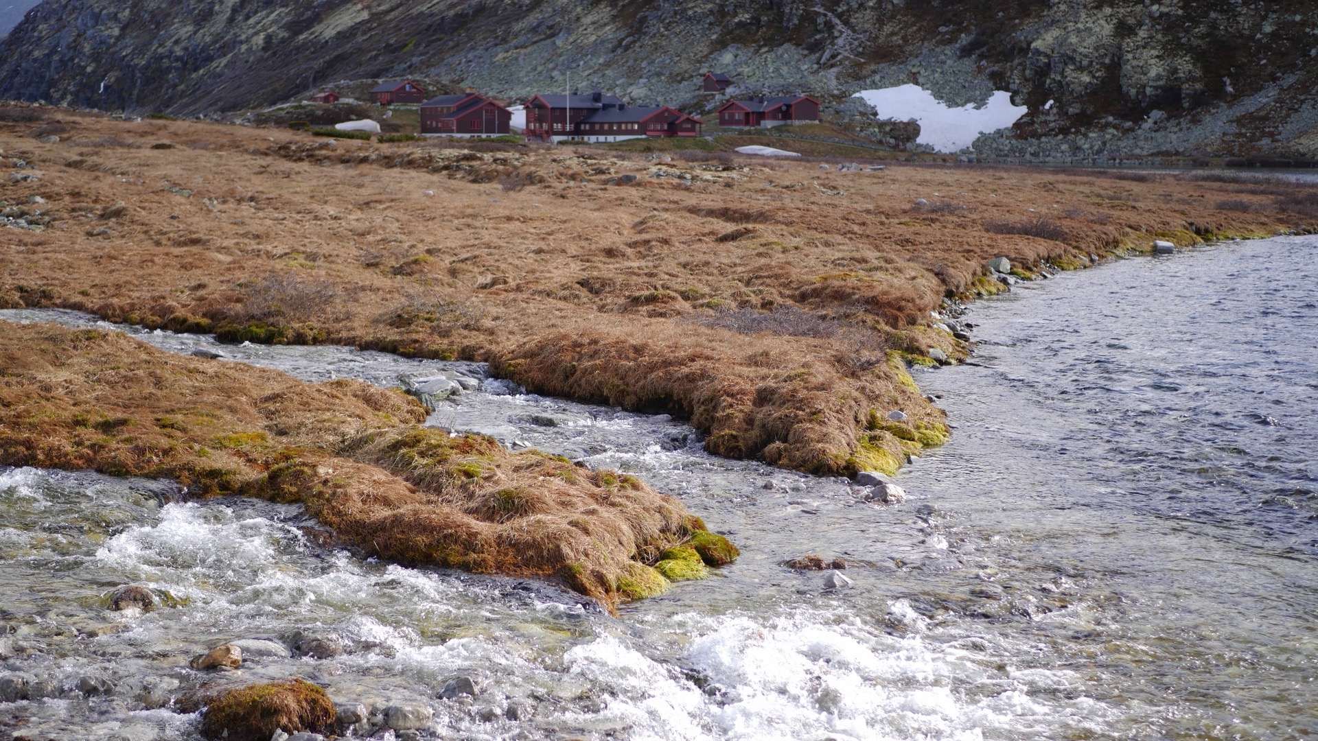
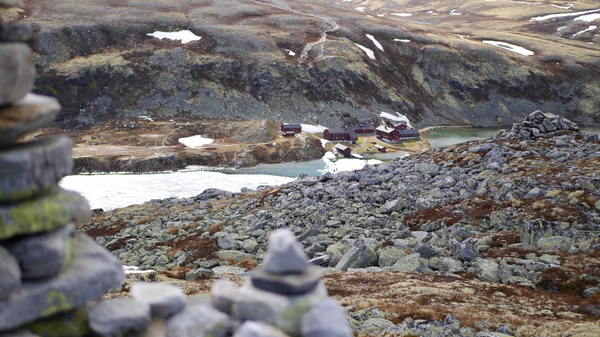
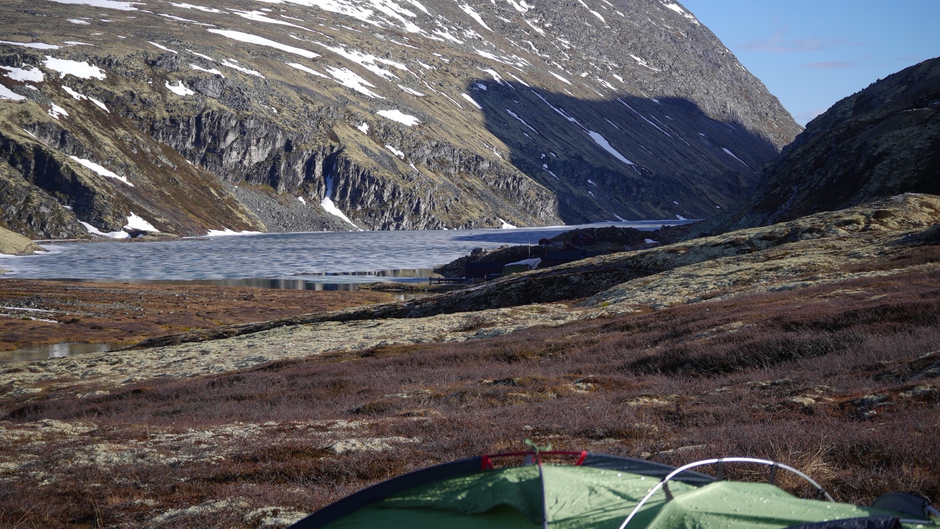
In a couple of hours we had reached the mountain hut Rondvassbu which is located next to the mountain lake Rondvattnet just above 1000 m.a.s.h. We had hiked through for 9 kilometers. There at Rondvassbu there was no activity this early in the season at the beginning of June and we had not intended to use the facilities there but were consciously here before the tourist season starts to experience the mountain with fewer people. Arriving at the foot of the mountains, we looked for a while in the terrain where it would be best to set up camp a little higher than the mountain station to gain a few meters of altitude tomorrow when we were going to the top. Near a beautiful mountain stream with crystal clear water, we chose our tent site for the evening. This time I had a large four-person tent with double crossbows that I don't usually use when you're only two. It weighs a little over 4 kg and is more suitable for three or four people but since we were not going to hike that far but started from the camp to make top trips, it was not a problem but just nice to have a large area in the tent.

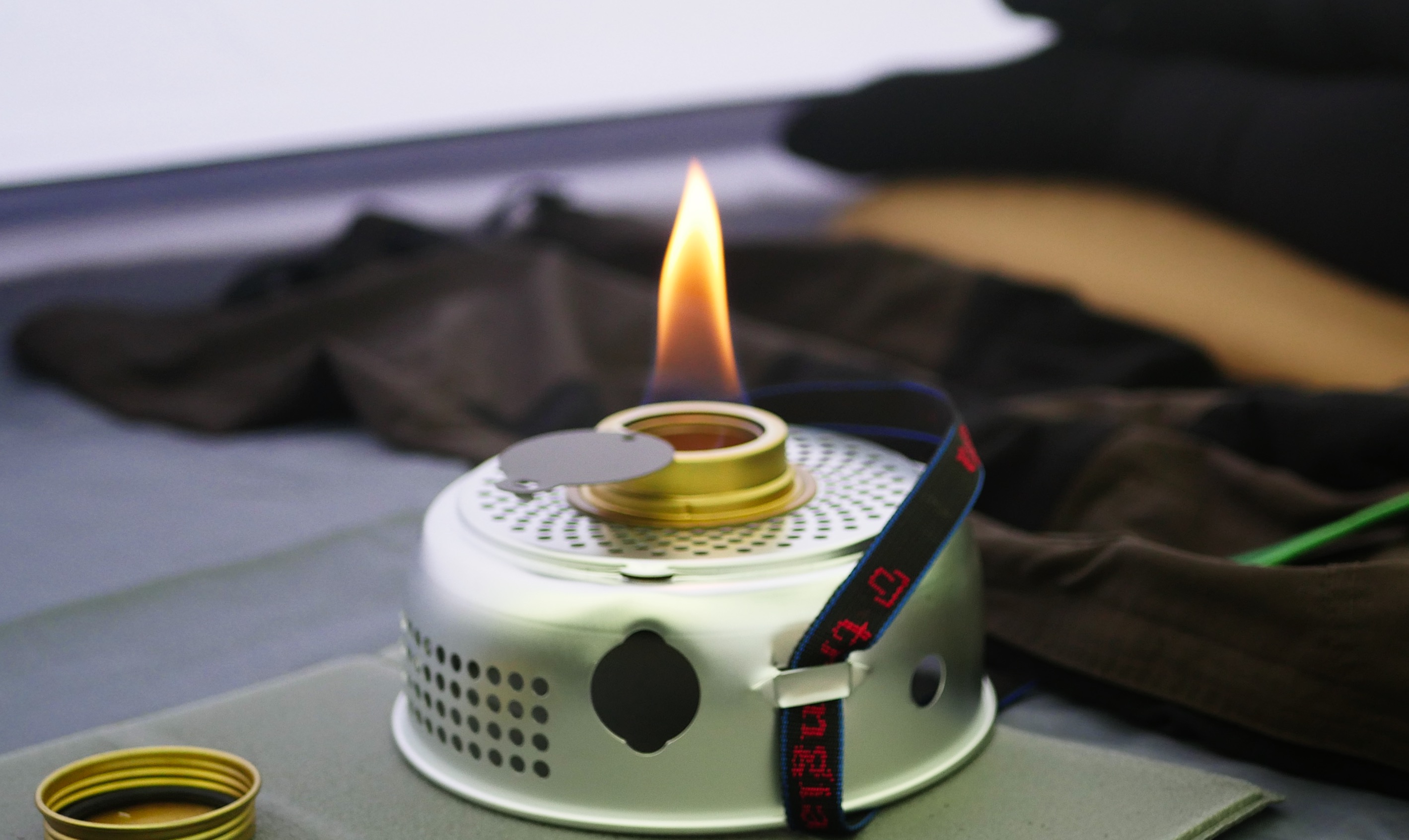
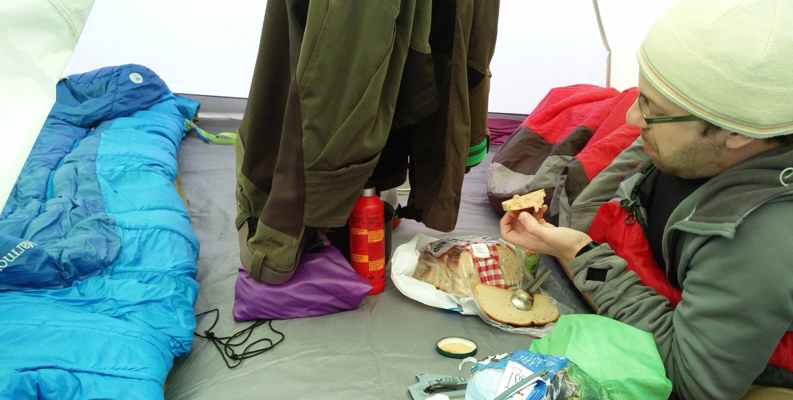
We heated water for an evening meal and rested in the tent with a lit Trangia red liquor burner to dry out the moisture. We had made it through the first day and I felt hopeful for tomorrow. Then we would climb Rondeslottet at 2178 m.a.s.h. To get there we had planned to pass another peak that is also over 2000 meters, it would be Vinjeronden first at 2046 meters and then via a mountain ridge on to Rondeslottet.


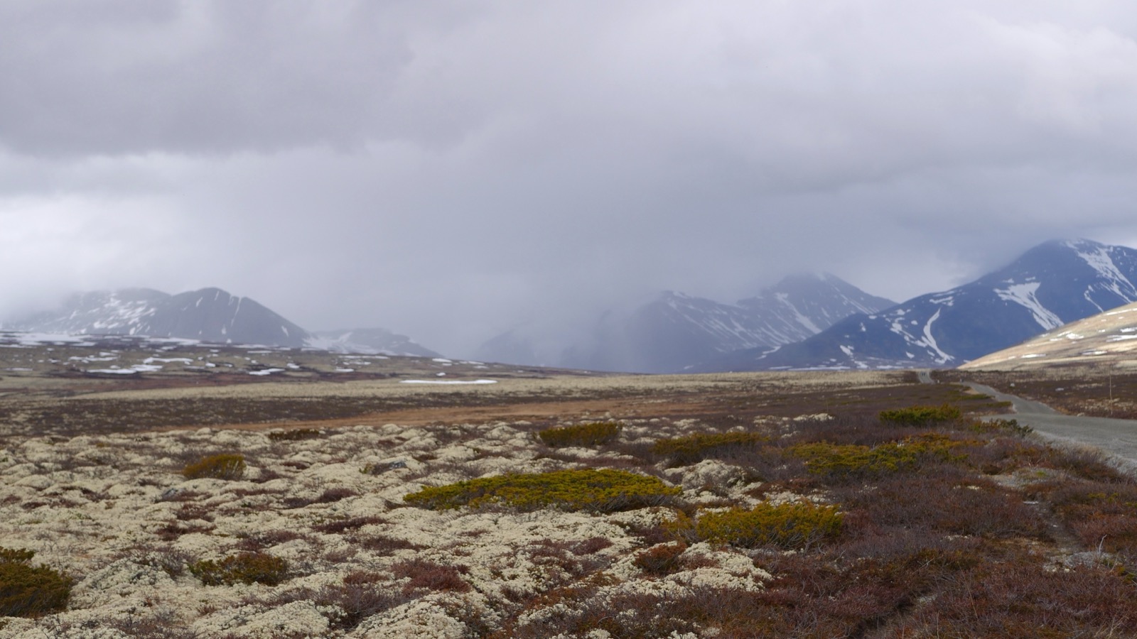
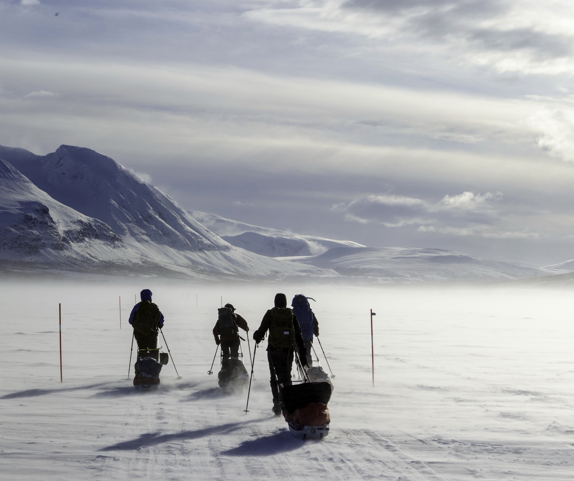
Now it was time to climb Rondeslottet and we started packing lightweight backpacks for the summit. In the mountains you can't see the weather cover far in advance, but in the mountains new weather fronts usually appear very quickly over the mountains. They can shift from all clear to full storm in a matter of hours. And if the weather is already cloudy with a lot of wind, it is even less predictable. It was such a windy and overcast morning and we didn't know what we had in front of us. We brought freeze-dried food and primus burners to have the opportunity to replenish with energy and get some hot meal during the summit as it would be a cold and windy ascent. But we started our trek hoping the weather would improve.
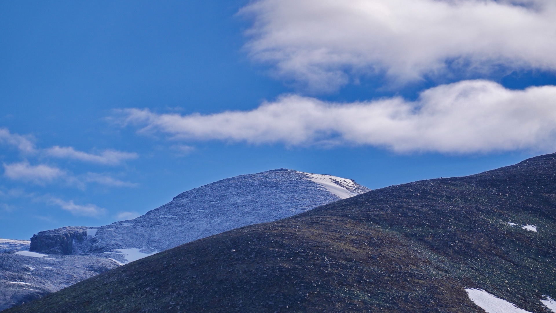
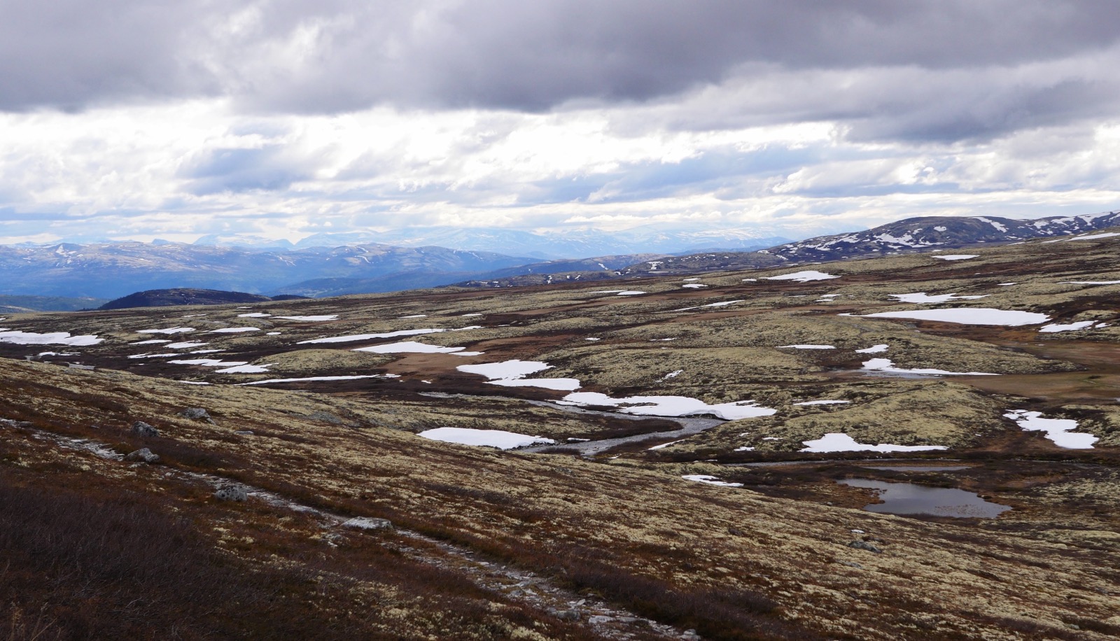
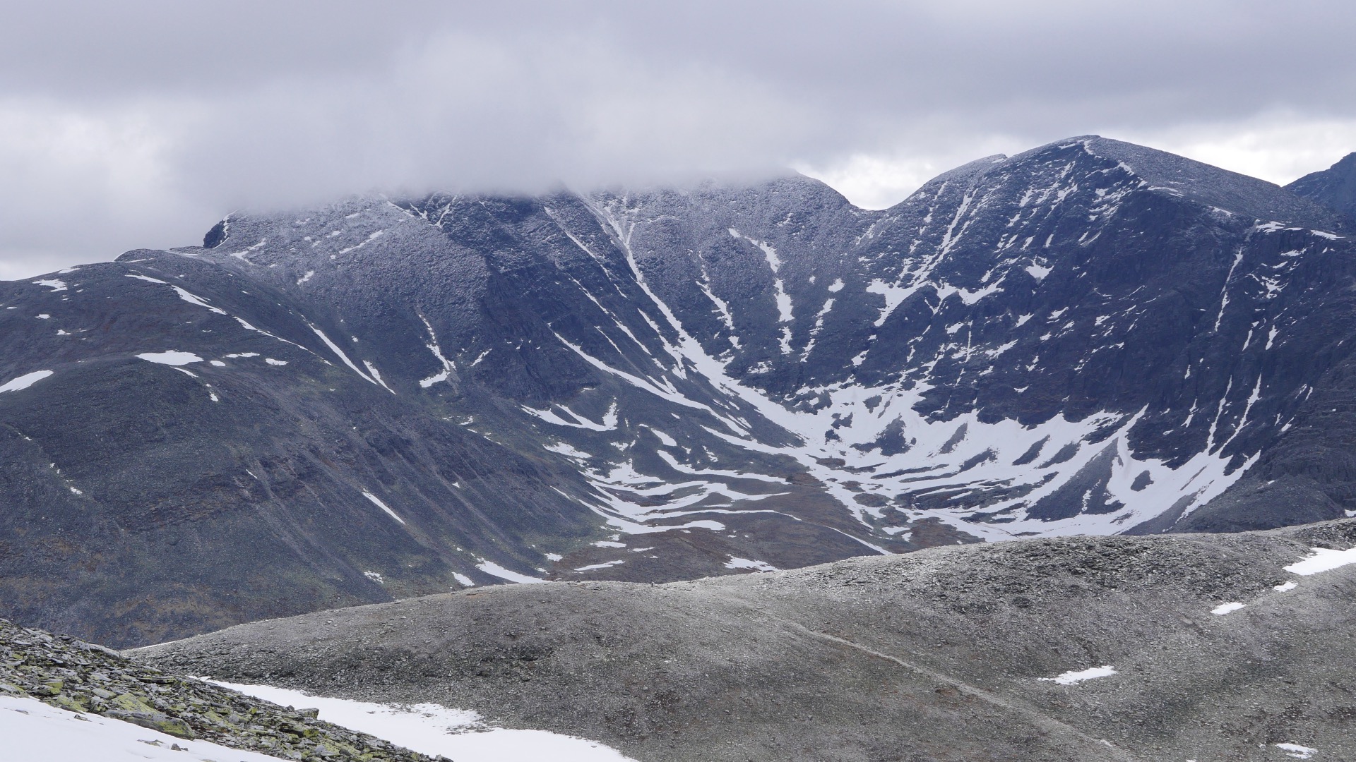
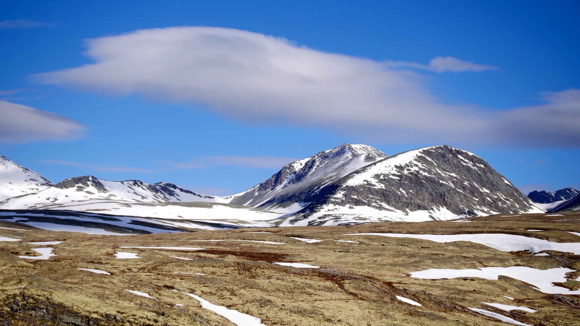
When we had reached an altitude of about 1300 meters, we finally got out of the wind in the valley between Storronden and Vinjeronden, which we were supposed to pass before going on to the mountain ridge over to Rondeslottet. Here in the valley it was foggy and although it was clearly better to get out of the wind and hike in the valley, it was only a matter of time before the wind would return when we got up above the valley. Also, visibility got worse higher up so this was a bad day to make a summit climb. But we didn't have much to choose from as we only had two full days except our travel days so we did our best. At least we wanted to see how high we could get and hoped for the weather to improve during the afternoon.
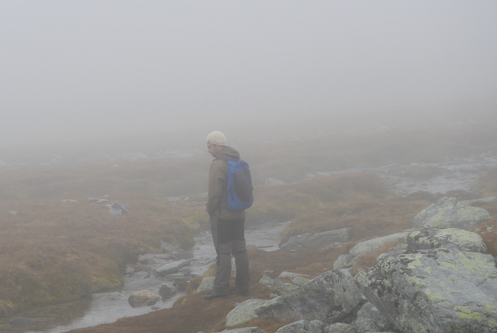
As we climbed higher, the wind picked up again, and even though we were wearing waterproof jackets and layer upon layer of clothing underneath, it felt increasingly unpleasant. We couldn’t see the summit, but we knew we were close to Vinjeronden when we decided to try to make lunch and get some hot food down before deciding what to do next. We found a crevice in the mountain where the wind wasn’t blowing full force, but it certainly wasn’t sheltered either. We didn’t have much choice where we were, so I lit the gas stove and started boiling water for our meal. It was drizzling by this point, and when you stop moving, you get chilled pretty quickly. I could feel my fingers starting to get very cold.
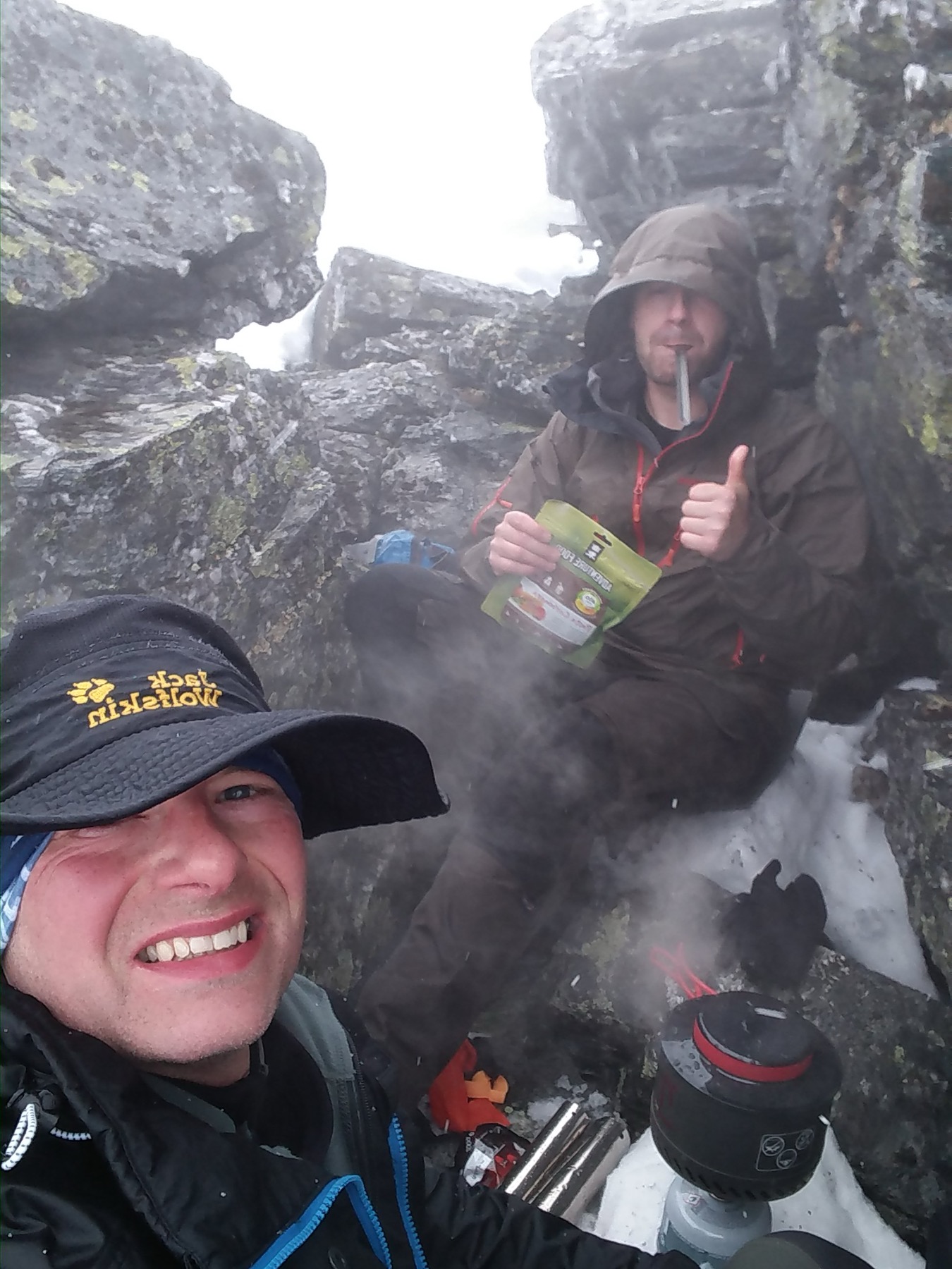
While we waited for the water to boil, we took a closer look at my GPS to see how far we had left to go, and realized we were just a few meters from the summit of Vinjeronden. But visibility was very poor, and taking a break for food right before the climb meant we were sitting still; instead of warming up, it had the opposite effect, at least for me. I started to freeze quite badly. Navigating along the mountain ridge and on toward Ronda Castle could be dangerous. After eating, we packed up and decided it was best to call it quits and head back down. I had started to lose feeling in my fingers, and we were both wet and frozen. Before we stopped for lunch, I was fine, but now, half an hour later, I felt really frozen, and it was a long way down to the tent. So during the descent, I got a taste of what the onset of hypothermia feels like. My fingers couldn’t even grip my zipper. And I had a very hard time warming up, even though we started moving again. Once we’d descended a few hundred meters, things calmed down, not completely still but with significantly less of a chill from the wind, and my hands started to regain sensation. My fingers slowly warmed up, and we were able to find our way back to the tent across the valley. It was really nice to dry off and warm up in the sleeping bag in the tent after a tough day.


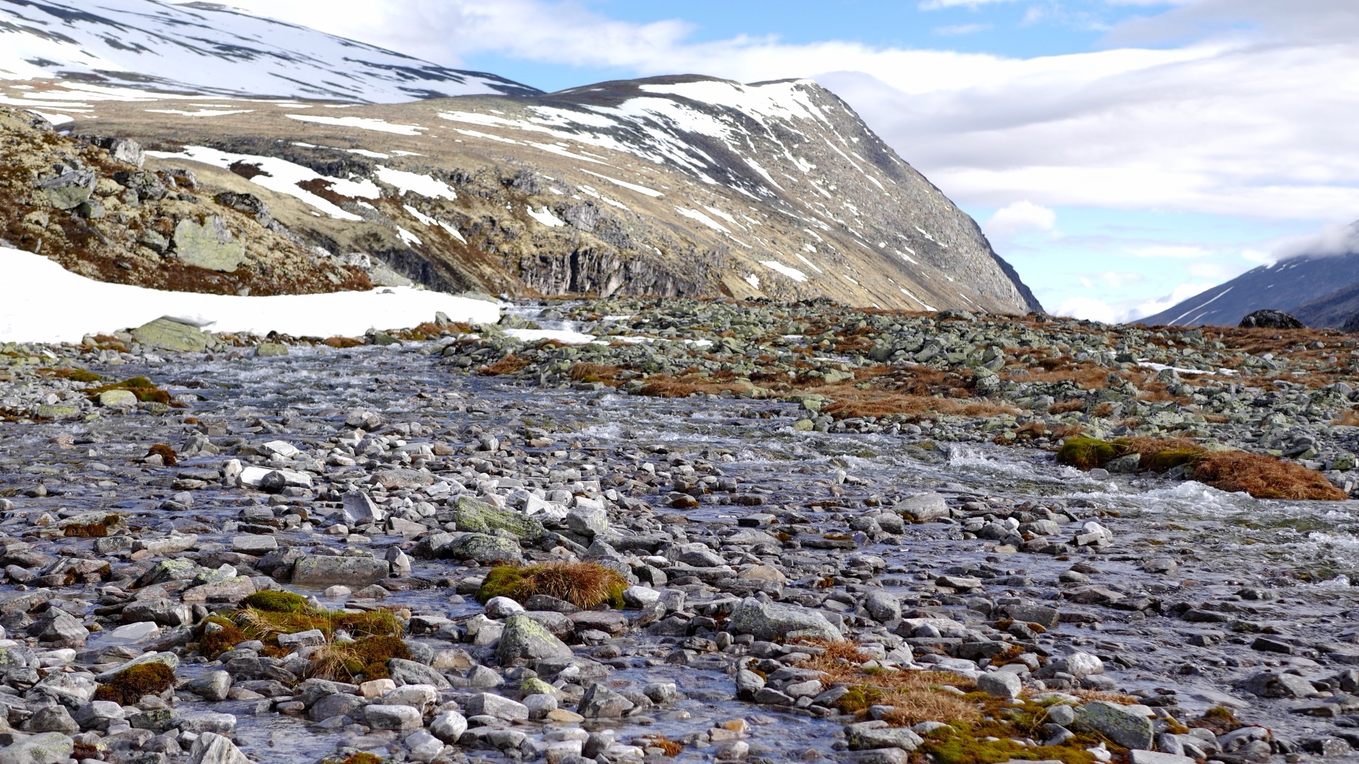
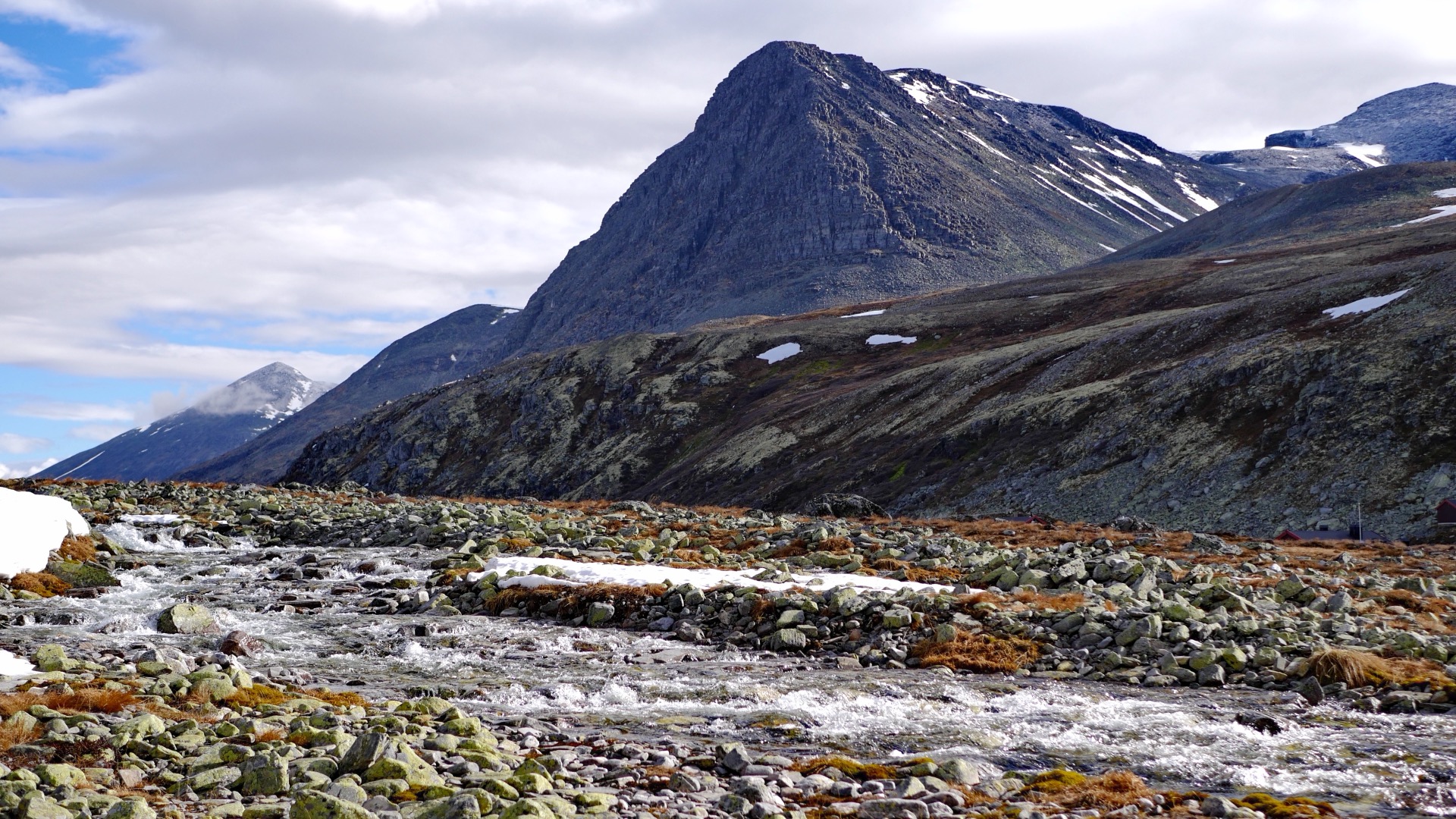
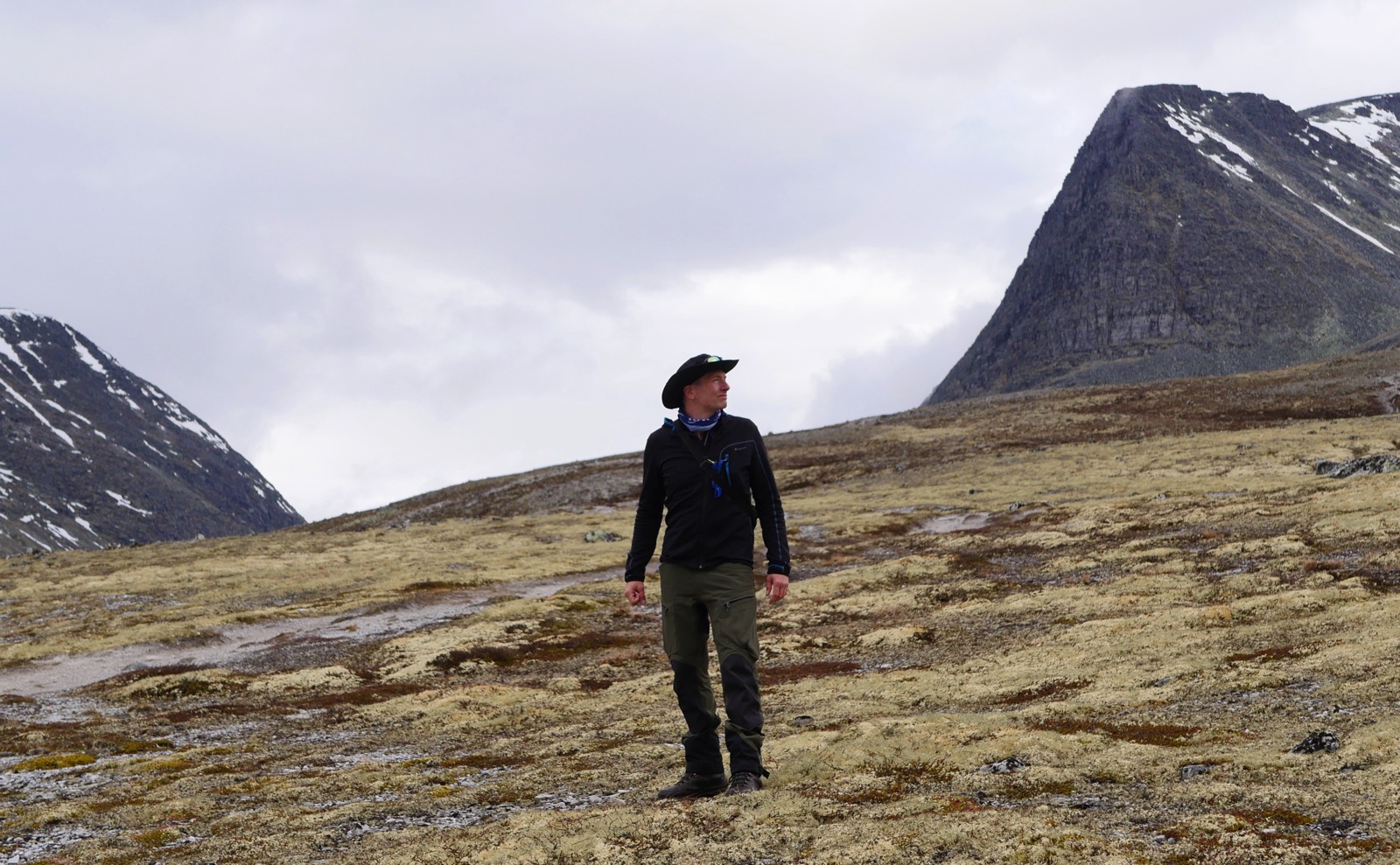
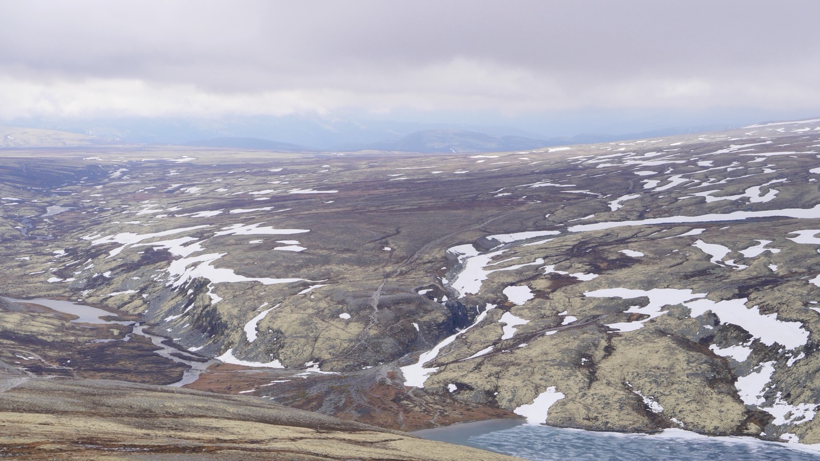
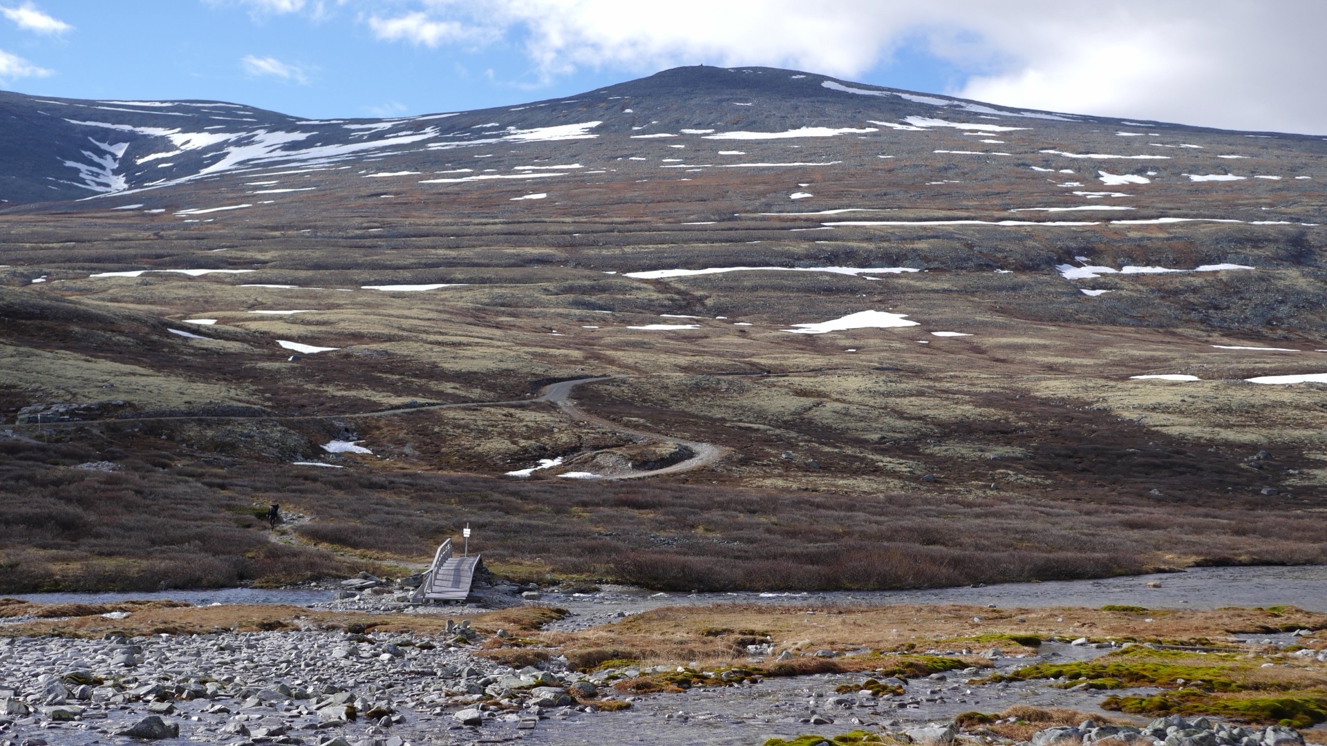
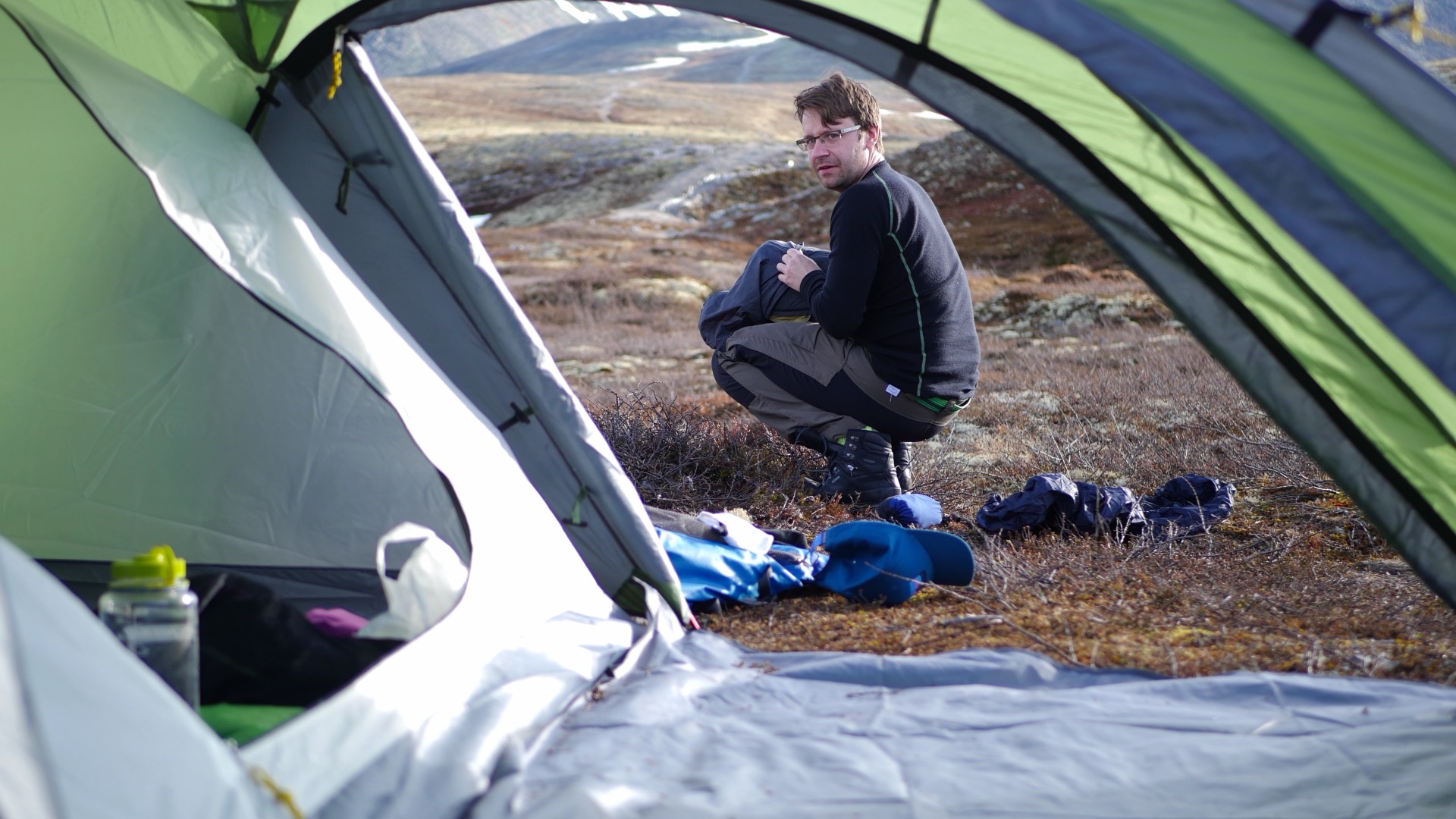
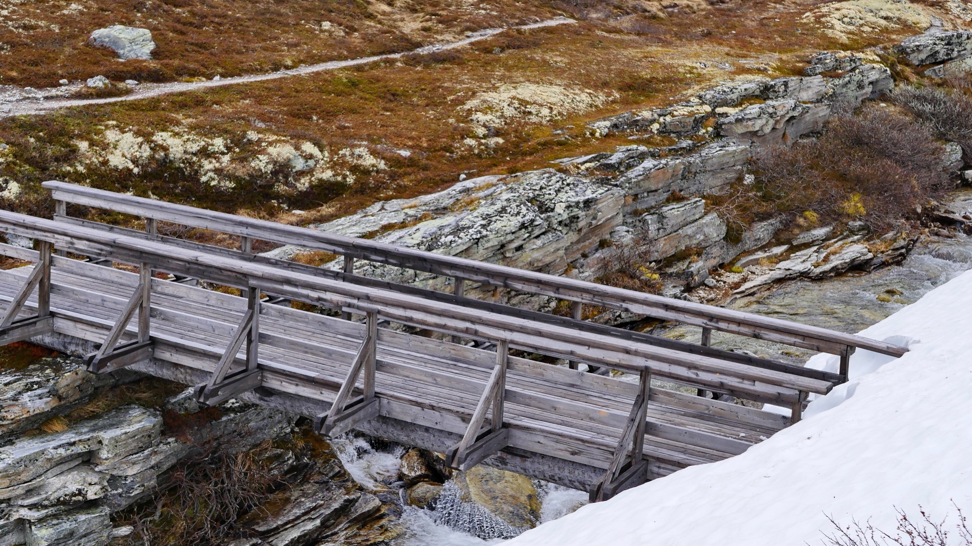
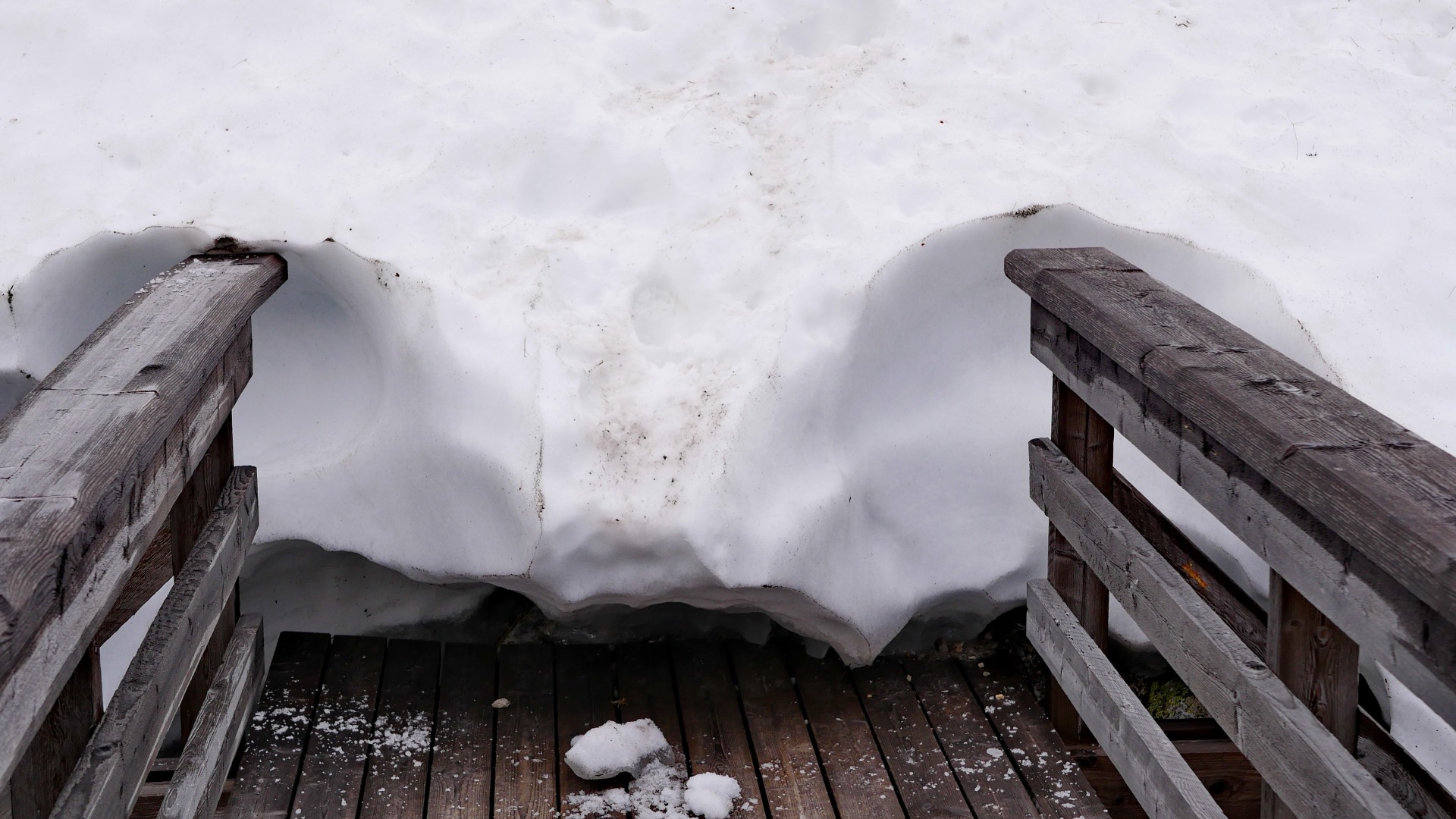
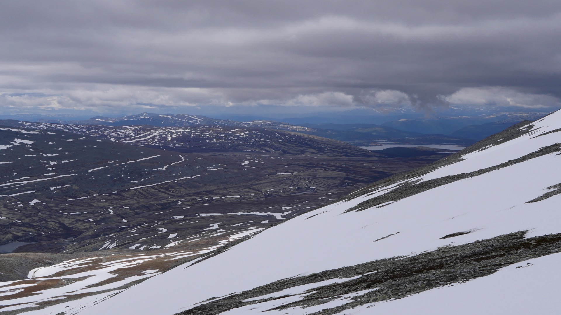
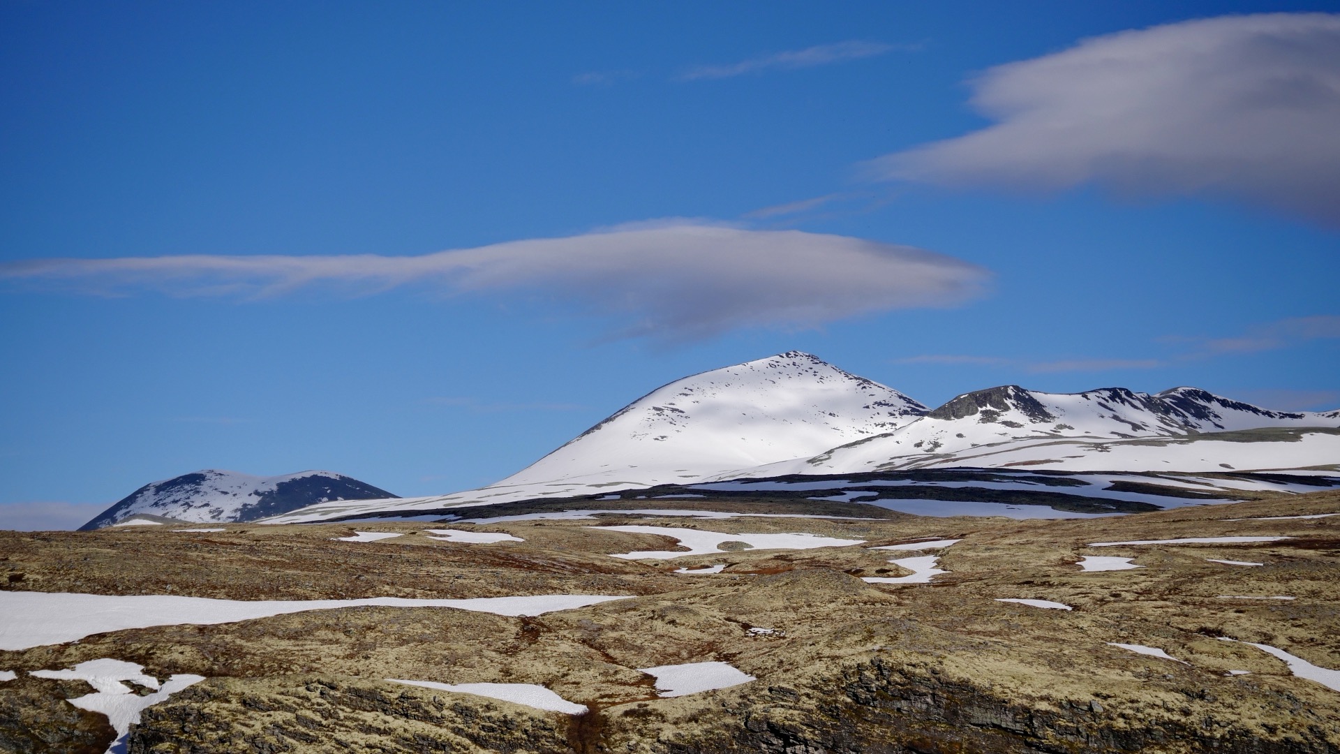
The next morning we woke up to sunshine, and now we could dry our gear and air out the tent, which was thoroughly damp from yesterday’s rain. Today it felt like a whole new world, and we were looking forward to a much better experience. We had been looking at another mountain located west of Lake Rondavattnet on the other side of the valley and the lake, and agreed that Mount Veslesmedan (2015 Meters) and a new trail would be much nicer than trying to repeat what we did yesterday. After breakfast, we packed everything we needed into our lightweight backpacks. It would be a new chance to experience the mountains in much better weather. We were in good spirits and soon made our way across a number of mountain streams; some had bridges, others did not. Then we had to find a suitable spot to cross them over rocks, but that was no problem.

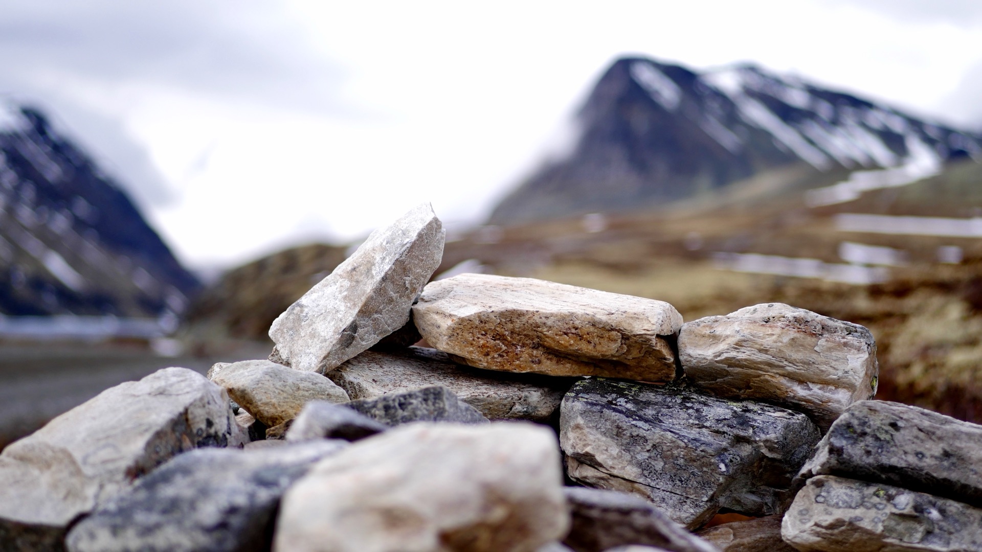
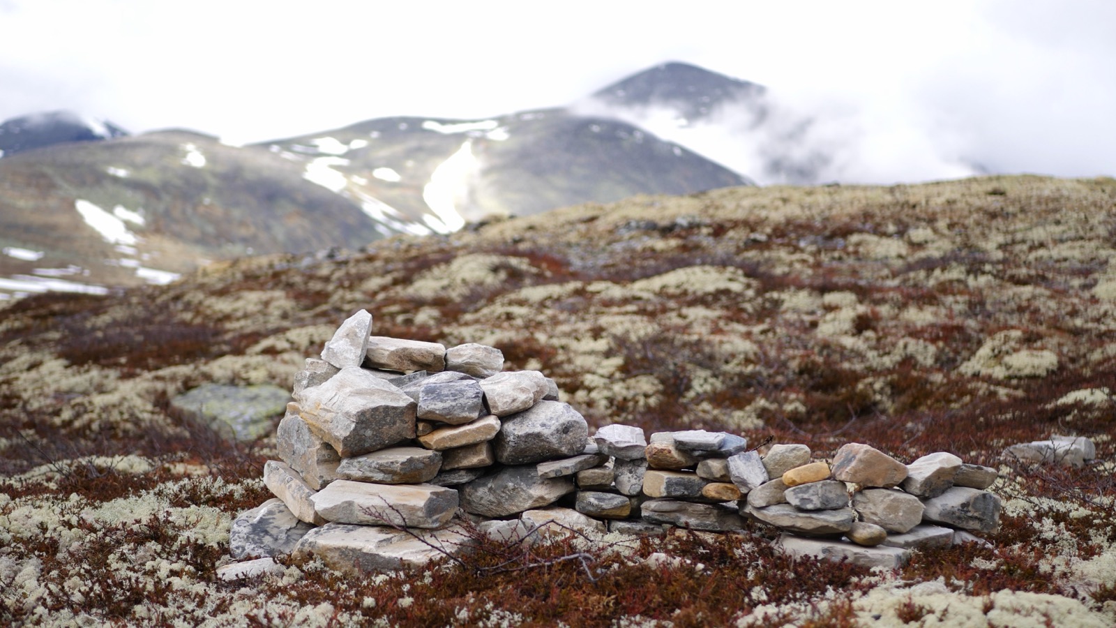
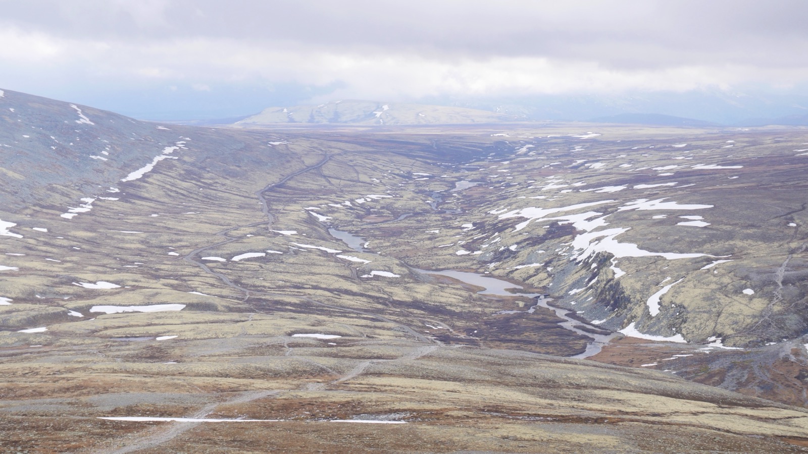
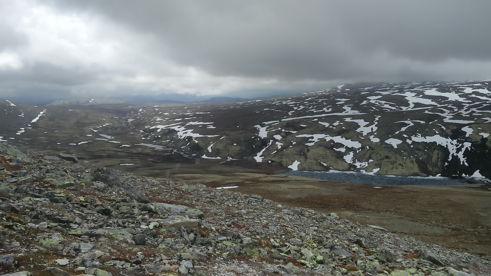
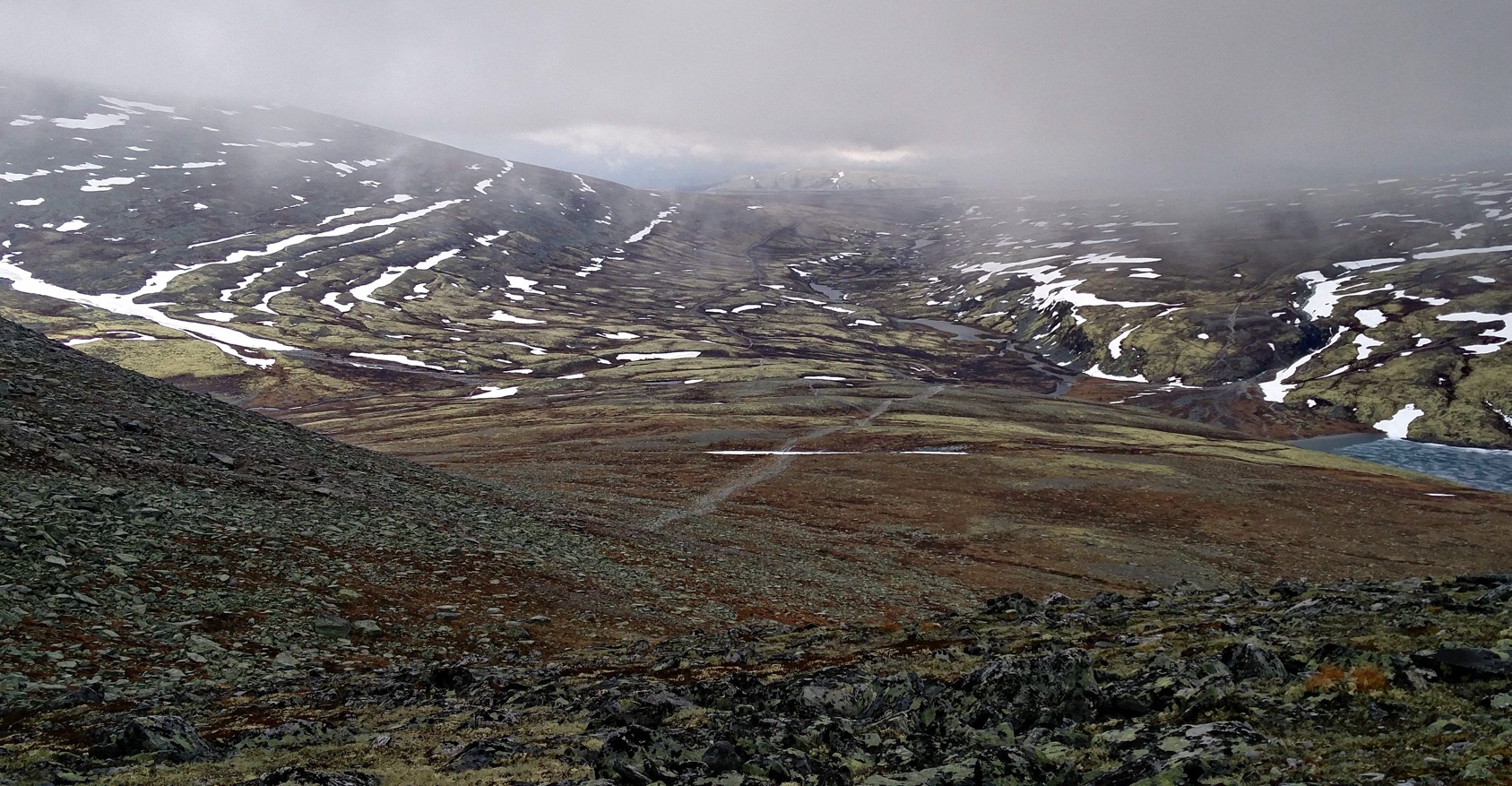
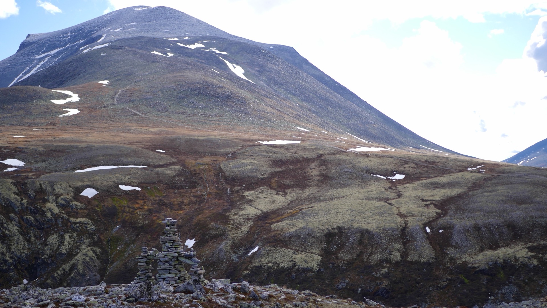
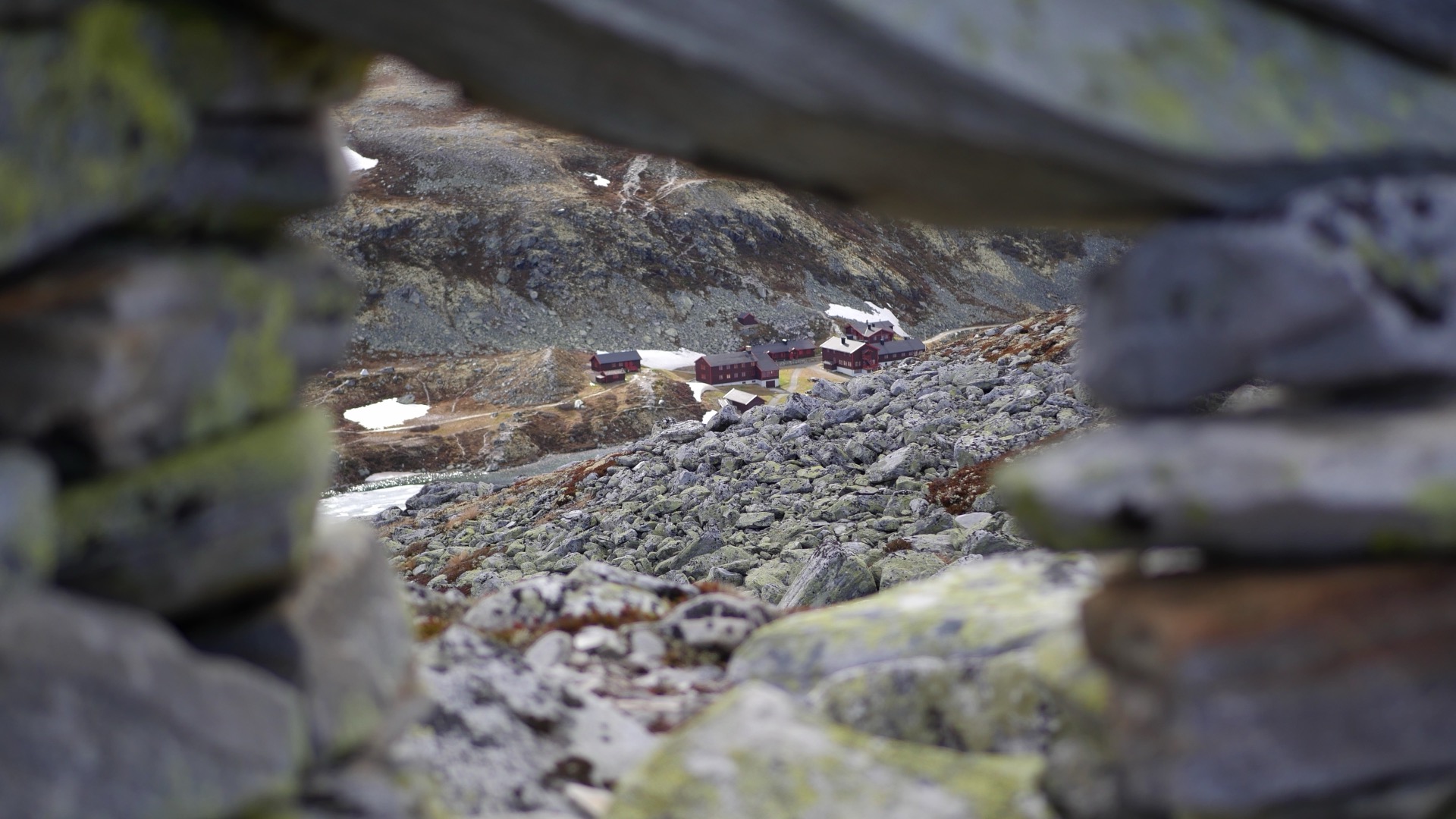
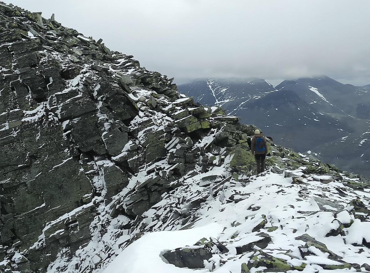
This day was truly the opposite of what we struggled through yesterday. It was definitely with a smile on my face that I was able to enjoy the contrast between these two days. Here, the weather was sunny, with a light breeze and clear visibility. It wasn’t wet or cold, just pleasant as we slowly made our way up the trail. We were able to stop and take in the entire majestic landscape and all the details along the way that made it special. Like looking down on the mountain station from above at a beautiful rock formation.

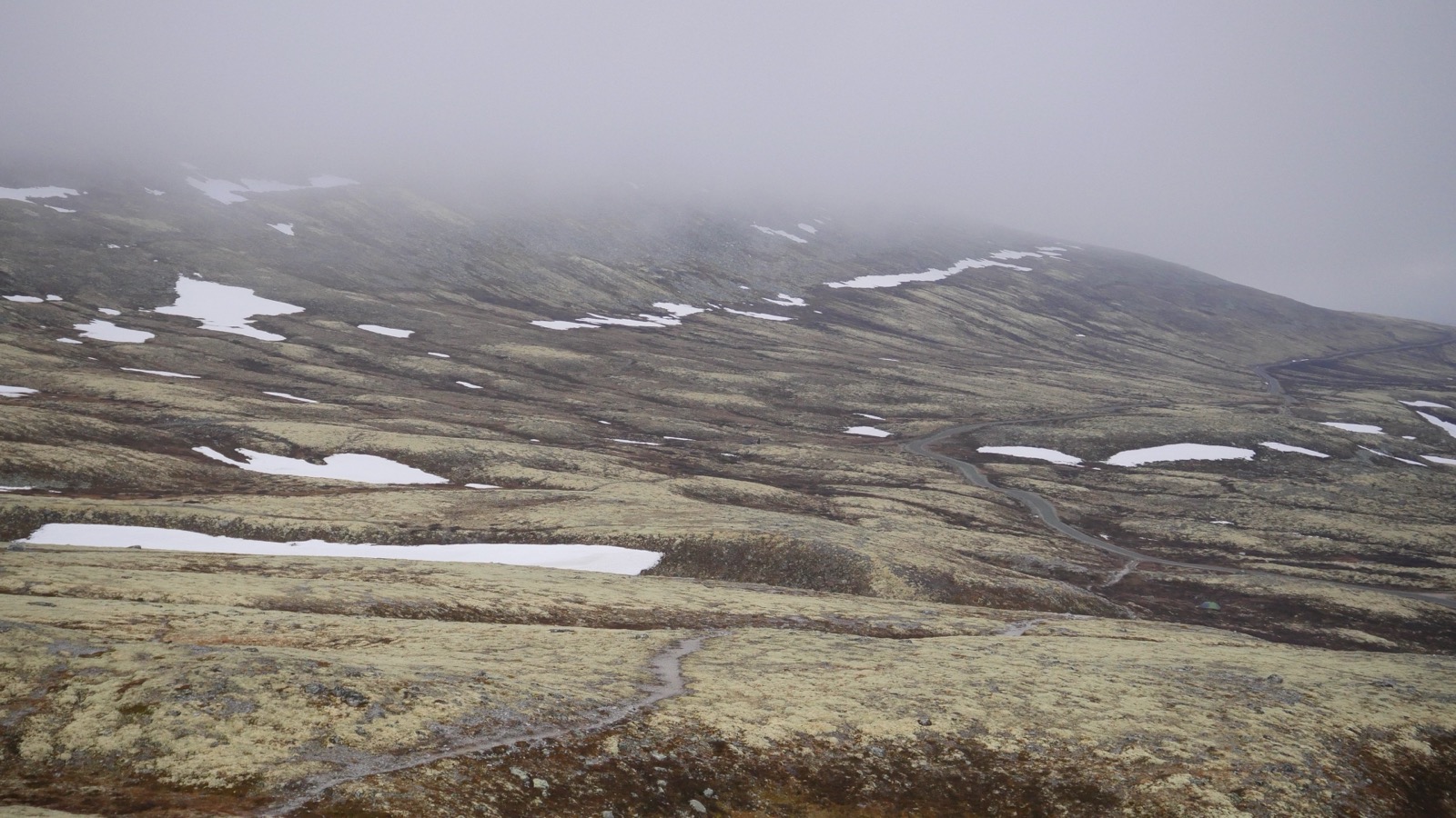
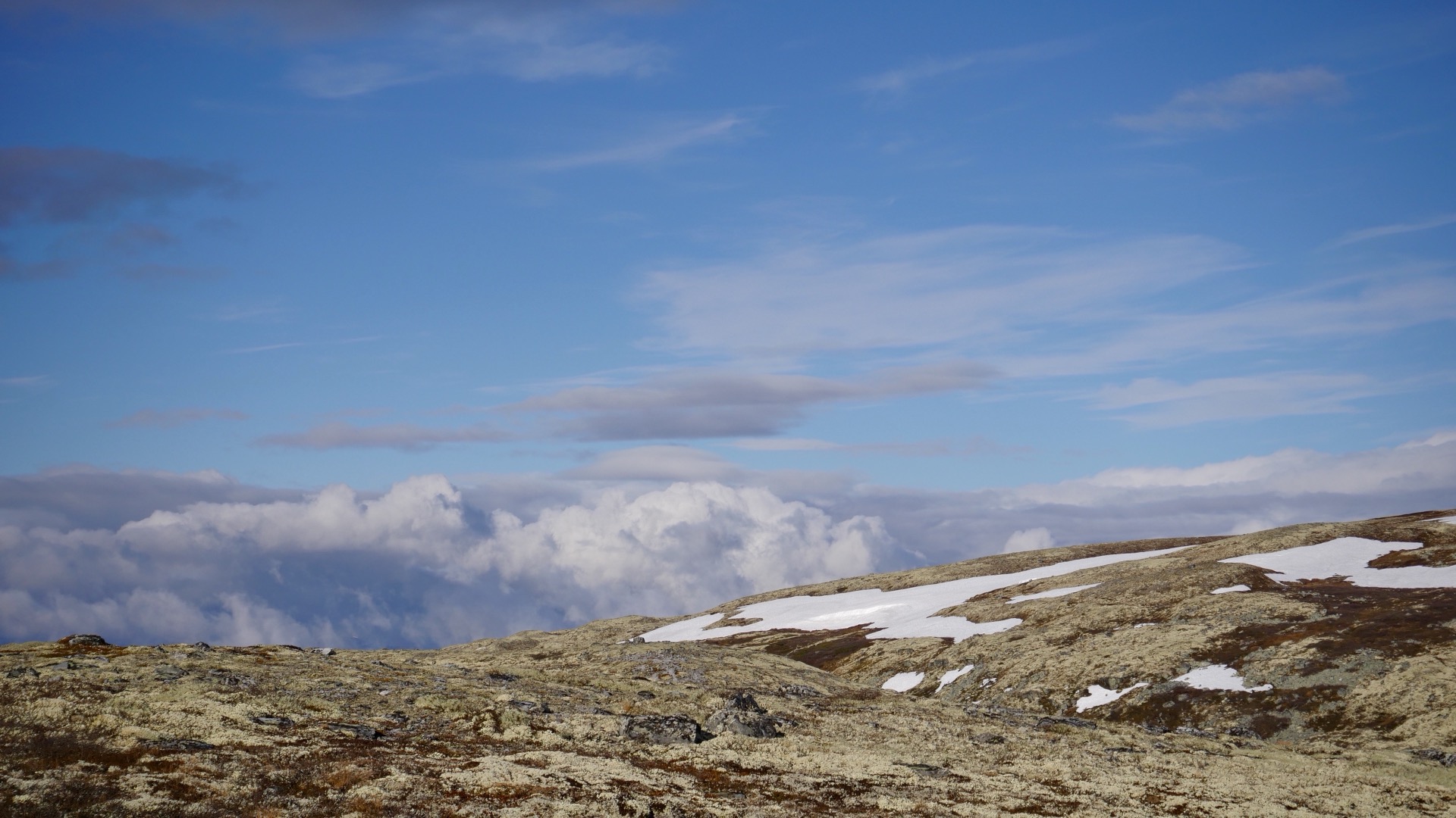
As we gained altitude, the snow returned. But it wasn’t a deep layer, just patches here and there, and it was easy to walk through firmly. We also encountered stronger winds higher up, but it didn’t feel too cold. We were well-dressed, with both windproof jackets and extra sweaters to keep us warm. We saw the occasional hiker in the valley, but it still felt as though we were alone in this vast landscape. That’s one of the things I really enjoy when I choose to be out in the mountains during the off-season: experiencing places without a swarm of other people nearby. In less than a month, this place would likely be teeming with hikers. But on this day, it was deserted, and with that comes a calm that settles both in the soul and over the mountains. Another big advantage of being out early in the season is that there are no mosquitoes either. They’ll show up later, and they probably prefer the company of tourists anyway.


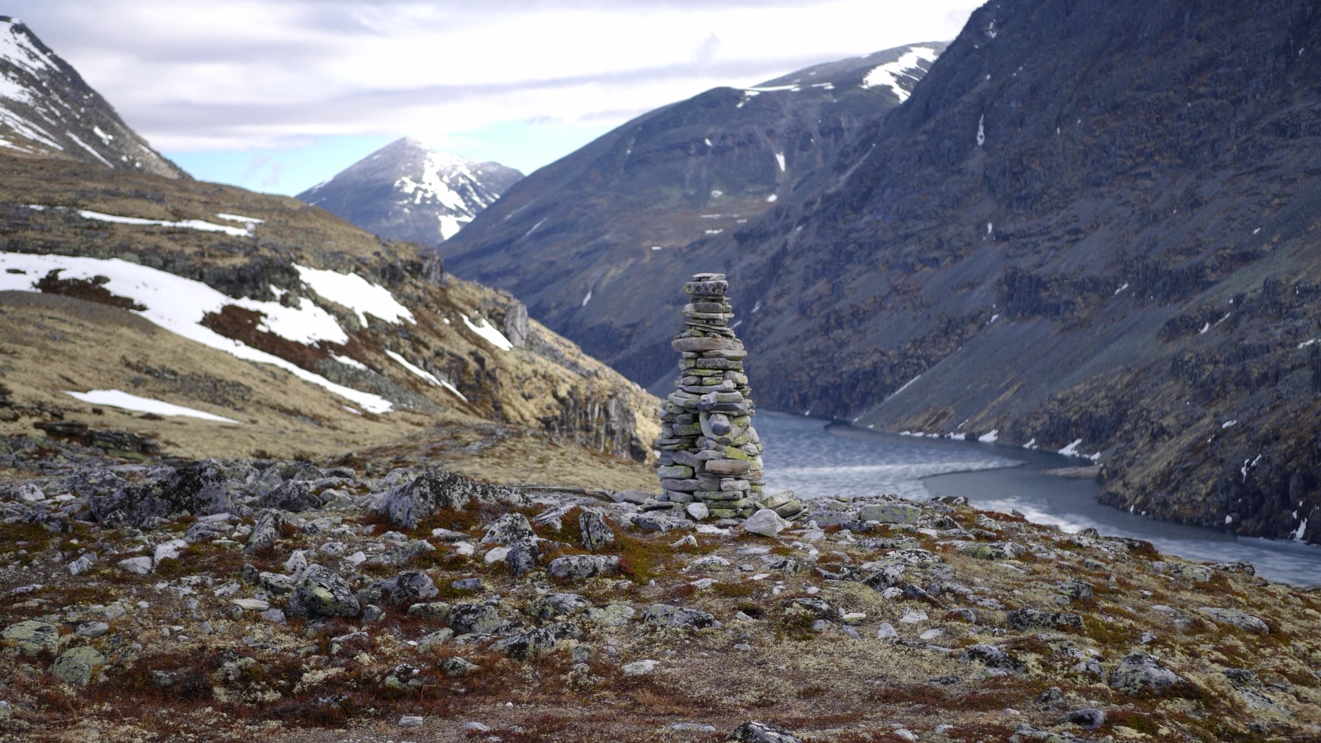

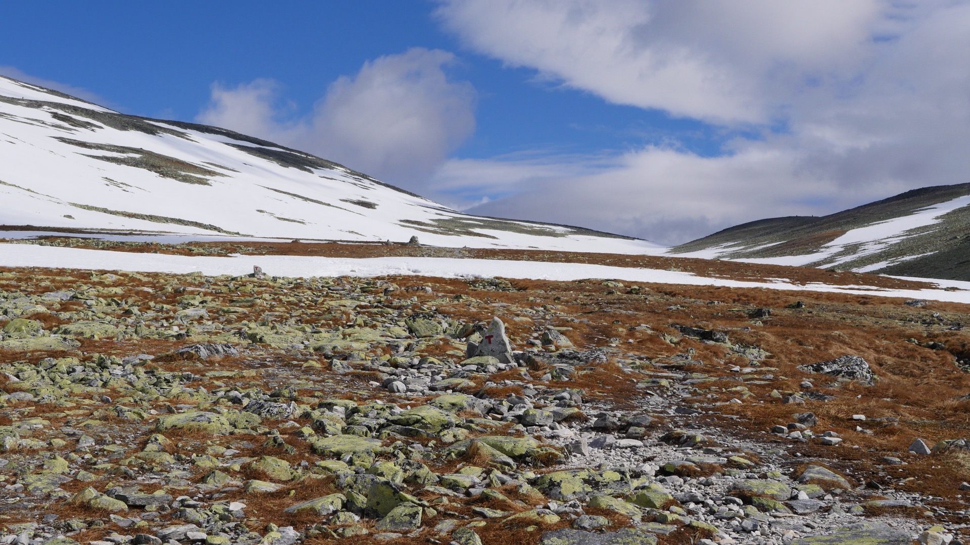
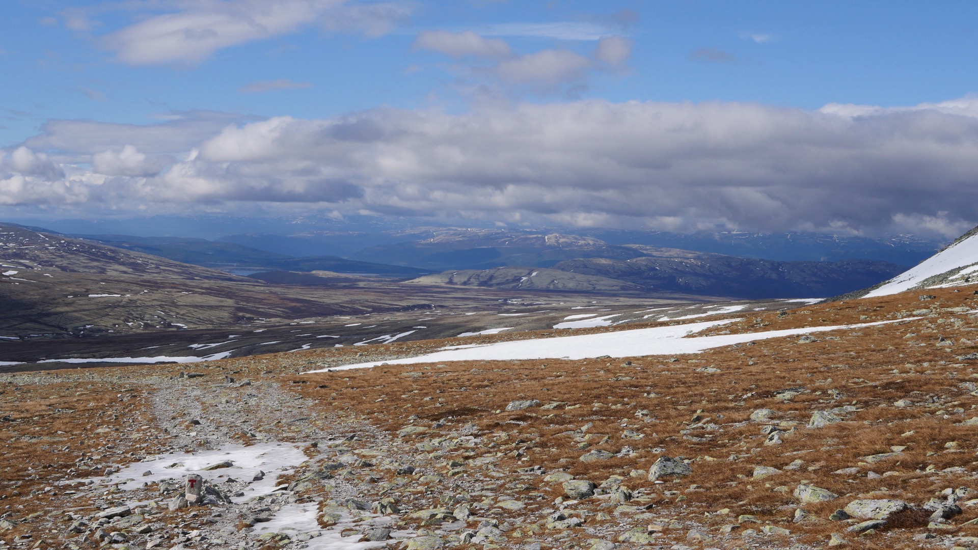

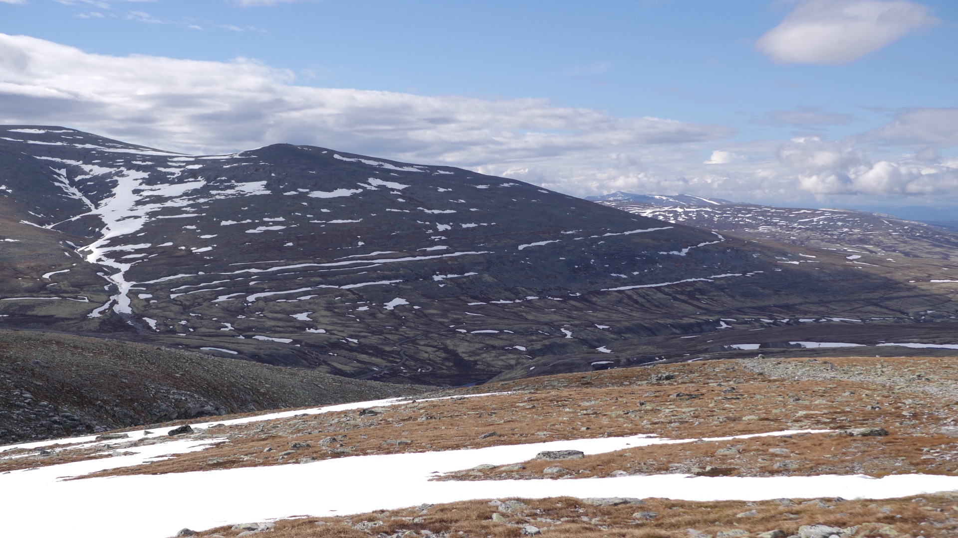
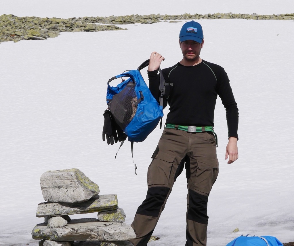
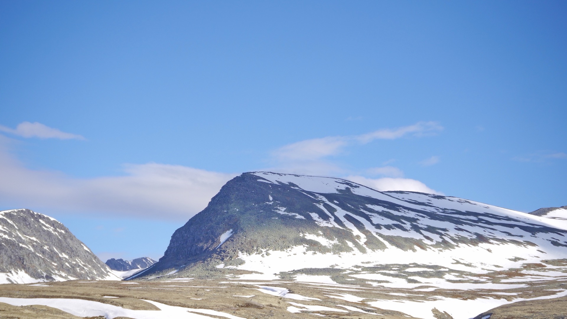
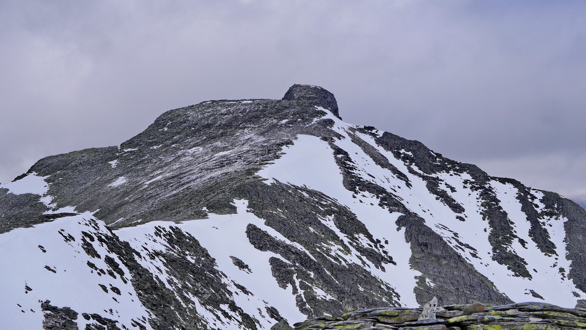
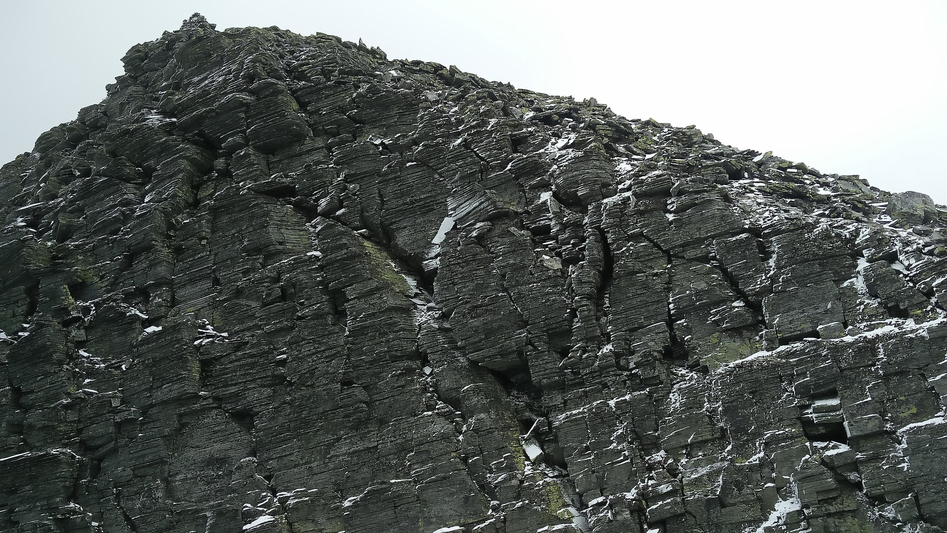
On the way up to the summit, we took breaks and enjoyed all the aspects of a summit hike. Sitting down with a cup of coffee and watching the clouds drift overhead. The sunshine not only warmed us but also lit up the landscape. The view became phenomenal on the way up. We could clearly see the mountain on the other side of the valley, which we had to turn back from during yesterday’s storm. Today there were no clouds at the level of the mountain; instead, they hovered above. We passed a very steep section, but this trail up to the summit was mostly so gentle that there was no need to feel anxious. The final section of the mountain looked like a tower. It was steep, but now there were only fifty meters left. When we reached the summit of Veslesmeden at 2,015 meters, we had been hiking for three and a half hours from our camp; it was 7 km. This was an easy but very satisfying mountain summit to reach. From the top, you could see 360 degrees, and the surrounding landscape is filled with beautiful peaks over two thousand meters high. We spent some time at the summit taking photos, filming, and admiring the scenery.
On one side of the peak it is very steep and when I stumbled to a few meters from the cliff it was a bit comical. I didn't fall but I saw inside me as you've probably seen on video at some point when tourists back with a camera in hand over a precipice how stupid it could have been. You can see it in my short film below.

We’d had a wonderful hike up to the summit, but that’s only half the adventure. You have to respect the descent as well, but on a day like this, it’s a pleasure. We actually had enough energy to make it home too, first all the way back down to the tent, pack up camp, and hike out of the national park that same afternoon. Then an 8–9-hour drive. In total, we hiked a little over 20 km that day, and over the three days, we had covered a little over 40 km. Feel free to check out my GPS track at the top of the page.
It’s absolutely possible to enjoy this kind of micro-adventure. Something I’ve done several times. You don’t need “at least” a week to experience the mountain world. Of course, it’s wonderful to spend a week or more at a stretch. But it’s also entirely possible to have a great experience over a long weekend. Maybe you’d like to see how I prepared? Take a look at the preparation document at the top.